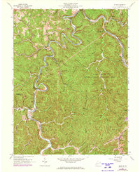
1962 Map of Julian
USGS Topo · Published 1973About this map
The Little Coal River and Big Coal River carve deep, serpentine valleys through this coal-bearing region of Boone and Lincoln Counties. The landscape is defined by its industrial geography, where the Chesapeake and Ohio and Coal River Railroad tracks follow the water level to serve remote mines and settlements. Small communities like Julian, Adams, and Horse Creek Junction are tightly packed into the narrow river bottoms, surrounded by steep ridges such as Pinnacle Rock.
Find a feature on this map
76 named features on this map. Tap any name to fly to it.
Don’t see what you’re looking for? This feature index may not catch every label — zoom into the map to look around manually.
Map Details
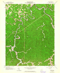
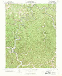
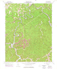
Editions of this 1962 Julian Map
4 editions found
Other maps of this area

1899 · Charleston
USGS Topo · 1:125,000

1909 · Charleston
USGS Topo · 1:62,500

1909 · Peytona
USGS Topo · 1:48,000

1909 · Saint Albans
USGS Topo · 1:62,500

1911 · Peytona
USGS Topo · 1:62,500

1911 · Madison
USGS Topo · 1:62,500

1929 · Madison
USGS Topo · 1:62,500

1929 · Peytona
USGS Topo · 1:62,500

1931 · Madison
USGS Topo · 1:62,500

1931 · Saint Albans
USGS Topo · 1:62,500