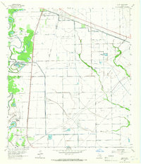
1963 Map of Juliff
USGS Topo · Published 1966About this map
The boundary between Fort Bend Co and Brazoria Co cuts across this coastal prairie landscape, where the local economy is defined by petroleum extraction and heavy-duty water infrastructure. The Arcola Oil Field and Sandy Point Oil Field mark the surface with numerous wells and a dense network of pipelines, reflecting the industrial character of the region in the early 1960s. Transport is anchored by the Missouri Pacific Railroad and the Atchison Topeka and Santa Fe Railroad, which link settlements like Arcola, Juliff, and Sandy Point.
Find a feature on this map
42 named features on this map. Tap any name to fly to it.
Don’t see what you’re looking for? This feature index may not catch every label — zoom into the map to look around manually.
Map Details
Editions of this 1963 Juliff Map
2 editions found
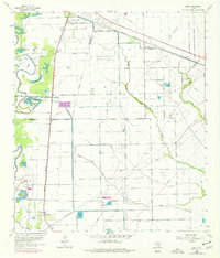
Other maps of this area

1920 · Mykawa
USGS Topo · 1:31,680

1920 · Almeda
USGS Topo · 1:31,680

1943 · Rosharon
USGS Topo · 1:31,680

1943 · Juliff
USGS Topo · 1:31,680

1943 · Chocolate Bayou
USGS Topo · 1:24,000

1950 · Houston
USGS Topo · 1:250,000

1953 · Otey
USGS Topo · 1:24,000

1953 · Thompsons
USGS Topo · 1:24,000
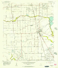
1955 · Pearland
USGS Topo · 1:24,000
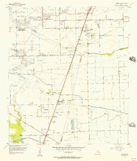
1955 · Almeda
USGS Topo · 1:24,000