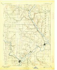
1894 Map of Junction City
USGS Topo · Published 1913About this map
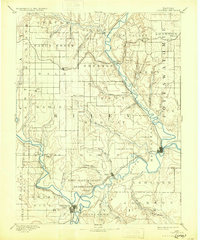
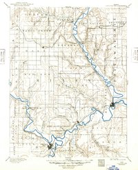
Fort Riley Military Reservation sits at the vital confluence of the Republican River and the Smoky Hill River, where they merge to form the Kansas River. This late 19th-century landscape reveals a territory defined by these waterways and the burgeoning rail networks that serviced the prairie. Junction City and Manhattan serve as the primary anchors of activity, connected by the Union Pacific Railroad. Further north, smaller agricultural settlements like Bala, Riley Center, and Garrison are scattered across the townships, often positioned along creeks such as Wild Cat Creek or Fancy Creek. The presence of the Kansas Central Railroad and the Blue Valley and Manhattan Railroad illustrates how transportation was rapidly restructuring the valley's economy, linking rural hamlets to the growing military and civilian hubs at the river forks.
Find a feature on this map
58 named features on this map. Tap any name to fly to it.
Don’t see what you’re looking for? This feature index may not catch every label — zoom into the map to look around manually.
Map Details
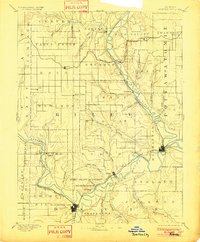
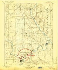
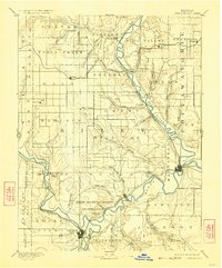
Editions of this 1894 Junction City Map
7 editions found

Other maps of this area

1885 · Eskridge
USGS Topo · 1:125,000

1886 · Junction City
USGS Topo · 1:125,000

1889 · Seneca
USGS Topo · 1:125,000

1889 · Wamego
USGS Topo · 1:125,000

1889 · Marysville
USGS Topo · 1:125,000

1889 · Junction City
USGS Topo · 1:125,000

1889 · Abilene
USGS Topo · 1:125,000

1889 · Parkerville
USGS Topo · 1:125,000

1889 · Eskridge
USGS Topo · 1:125,000

1891 · Clay Center
USGS Topo · 1:125,000