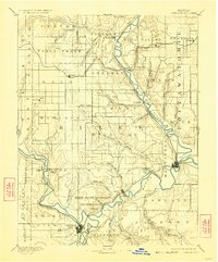
1894 Map of Junction City
USGS Topo · Published 1923About this map
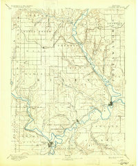
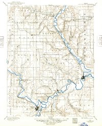
The confluence of the Republican River and the Smoky Hill River anchors this late nineteenth-century portrait of northeastern Kansas. At this strategic hydrologic junction, Junction City serves as a primary rail and commercial hub, while just to the northeast, the Fort Riley Military Reservation spans the river valley. The landscape is defined by its drainage systems, with numerous named tributaries like Wild Cat Creek and Seven Mile Creek cutting through the prairie terrain toward the larger Big Blue River.
Find a feature on this map
61 named features on this map. Tap any name to fly to it.
Don’t see what you’re looking for? This feature index may not catch every label — zoom into the map to look around manually.
Map Details
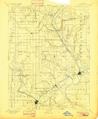
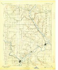
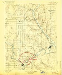
Editions of this 1894 Junction City Map
7 editions found

Other maps of this area

1885 · Eskridge
USGS Topo · 1:125,000

1886 · Junction City
USGS Topo · 1:125,000

1889 · Seneca
USGS Topo · 1:125,000

1889 · Wamego
USGS Topo · 1:125,000

1889 · Marysville
USGS Topo · 1:125,000

1889 · Junction City
USGS Topo · 1:125,000

1889 · Abilene
USGS Topo · 1:125,000

1889 · Parkerville
USGS Topo · 1:125,000

1889 · Eskridge
USGS Topo · 1:125,000

1891 · Clay Center
USGS Topo · 1:125,000