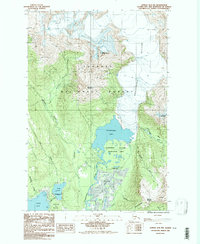
1986 Map of Juneau B-2 NW
USGS Topo · Published 1987About this map
Mendenhall Glacier dominates the northern reaches of this landscape, its ice feeding into the expanse of Mendenhall Lake and the southward-flowing Mendenhall River. The mid-1980s topography illustrates the relationship between the glacial terminus and the developing community of Mendenhall and the nearby University of Alaska (Juneau) campus. High peaks such as Mount Stroller White and Thunder Mountain ring the valley, while the Tongass National Forest covers much of the surrounding terrain. To the south, the coastline transitions into the Auke Bay waterfront, where the Mendenhall Peninsula separates the bay from the river's path. Local drainages like Montana Creek and Jordan Creek are meticulously charted, as is the Mendenhall Recreation Area near the glacier's edge.
Find a feature on this map
33 named features on this map. Tap any name to fly to it.
Don’t see what you’re looking for? This feature index may not catch every label — zoom into the map to look around manually.
Map Details
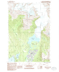
Editions of this 1986 Juneau B-2 NW Map
2 editions found
Other maps of this area

1947 · Juneau B-3
USGS Topo · 1:63,360

1947 · Juneau B-2
USGS Topo · 1:63,360

1949 · Juneau B-3
USGS Topo · 1:62,500

1949 · Juneau B-2
USGS Topo · 1:62,500

1951 · Juneau
USGS Topo · 1:250,000

1951 · Juneau C-3
USGS Topo · 1:63,360

1952 · Juneau C-3
USGS Topo · 1:63,360

1960 · Juneau C-2
USGS Topo · 1:63,360

1962 · Juneau B-2
USGS Topo · 1:63,360

1962 · Juneau B-3
USGS Topo · 1:63,360