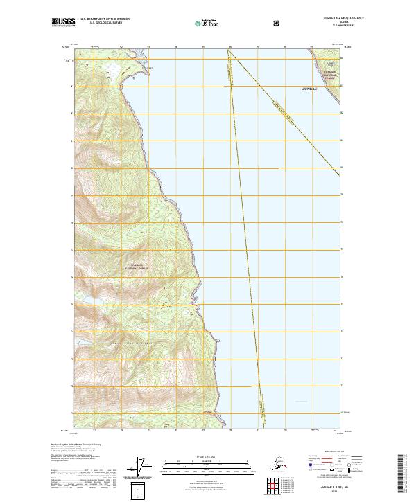
2021 Map of Juneau B-4 NE
USGS Topo · Published 2021About this map
Lynn Canal dominates this coastal survey, where the saltwater waterway meets the steep slopes of the Saint Elias Mountains. This map documents a critical maritime corridor in Southeast Alaska, showing the intersection of several administrative boundaries including the Haines Borough, Juneau City and Borough, and the Hoonah-Angoon Census Area. Much of the shoreline is protected as part of the Tongass National Forest, maintaining the wilderness character of the coast. To the north, the small islets known as the Lynn Sisters sit just off the mainland, while Lincoln Island emerges from the channel in the northeast corner. The map captures the complex geography of the Alaskan Panhandle, where deep fjords and mountainous terrain dictate the boundaries of local governance and land management.
Find a feature on this map
13 named features on this map. Tap any name to fly to it.
Don’t see what you’re looking for? This feature index may not catch every label — zoom into the map to look around manually.
Map Details
Editions of this 2021 Juneau B-4 NE Map
This is the sole edition of this map. No revisions or reprints were ever made.
Other maps of this area

1947 · Juneau B-3
USGS Topo · 1:63,360

1948 · Juneau B-4
USGS Topo · 1:63,360

1948 · Juneau C-4
USGS Topo · 1:63,360

1949 · Juneau B-3
USGS Topo · 1:62,500

1949 · Juneau C-4
USGS Topo · 1:63,360

1949 · Juneau B-4
USGS Topo · 1:63,360

1951 · Juneau
USGS Topo · 1:250,000

1951 · Juneau C-3
USGS Topo · 1:63,360

1952 · Juneau C-3
USGS Topo · 1:63,360

1962 · Juneau B-3
USGS Topo · 1:63,360