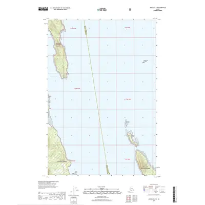
2017 Map of Juneau C-4 SE
USGS Topo · Published 2017About this map
Saint James Bay defines the maritime character of this Southeast Alaska coastal region, where the protected waters meet the rugged shoreline of the Tongass National Forest. Located along the boundary between Haines Borough and Juneau Borough, the map illustrates a landscape shaped by glacial action and dramatic relief, terminating at Point Whidbey. The chart details several significant navigational markers and landforms within the Lynn Canal corridor, including the remote Vanderbilt Reef and the clustered Lynn Sisters islets. Moving south, the terrain fragments into a series of distinct islands such as Little Island, Ralston Island, and the larger Lincoln Island, providing a clear record of the archipelago's topography and coastal boundaries as they existed in the early twenty-first century.
Find a feature on this map
16 named features on this map. Tap any name to fly to it.
Don’t see what you’re looking for? This feature index may not catch every label — zoom into the map to look around manually.
Map Details
Editions of this 2017 Juneau C-4 SE Map
This is the sole edition of this map. No revisions or reprints were ever made.
Other maps of this area

1947 · Juneau B-3
USGS Topo · 1:63,360

1948 · Juneau B-4
USGS Topo · 1:63,360

1948 · Juneau C-4
USGS Topo · 1:63,360

1949 · Juneau B-3
USGS Topo · 1:62,500

1949 · Juneau C-4
USGS Topo · 1:63,360

1949 · Juneau B-4
USGS Topo · 1:63,360

1951 · Juneau
USGS Topo · 1:250,000

1951 · Juneau C-3
USGS Topo · 1:63,360

1952 · Juneau C-3
USGS Topo · 1:63,360

1962 · Juneau B-3
USGS Topo · 1:63,360