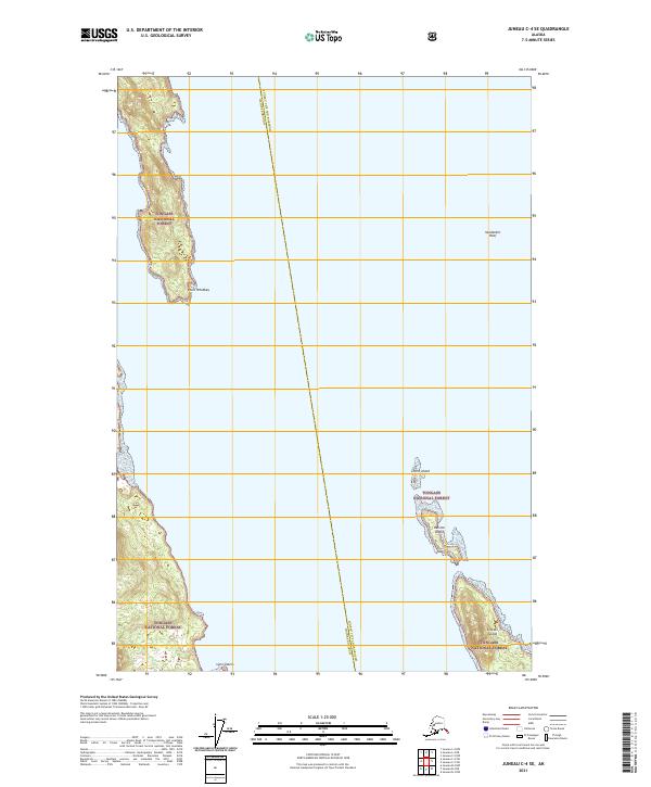
2021 Map of Juneau C-4 SE
USGS Topo · Published 2021About this map
Tongass National Forest dominates the landforms of this coastal Alaskan landscape, appearing in several fragmented segments across the waterways. The map reveals the intricate maritime geography of the region, where the Lincoln Island and Ralston Island clusters sit in the southeast. Further north, the prominent Point Whidbey extends into the channel, while smaller hazards like Vanderbilt Reef and the Lynn Sisters rocks are clearly delineated. A significant jurisdictional boundary separates the Juneau City and Borough and Haines Borough, running through the open water and dividing these island groups. This survey captures a remote wilderness area defined by its reliance on nautical landmarks and significant federal forest conservation.
Find a feature on this map
14 named features on this map. Tap any name to fly to it.
Don’t see what you’re looking for? This feature index may not catch every label — zoom into the map to look around manually.
Map Details
Editions of this 2021 Juneau C-4 SE Map
This is the sole edition of this map. No revisions or reprints were ever made.
Other maps of this area

1947 · Juneau B-3
USGS Topo · 1:63,360

1948 · Juneau B-4
USGS Topo · 1:63,360

1948 · Juneau C-4
USGS Topo · 1:63,360

1949 · Juneau B-3
USGS Topo · 1:62,500

1949 · Juneau C-4
USGS Topo · 1:63,360

1949 · Juneau B-4
USGS Topo · 1:63,360

1951 · Juneau
USGS Topo · 1:250,000

1951 · Juneau C-3
USGS Topo · 1:63,360

1952 · Juneau C-3
USGS Topo · 1:63,360

1962 · Juneau B-3
USGS Topo · 1:63,360