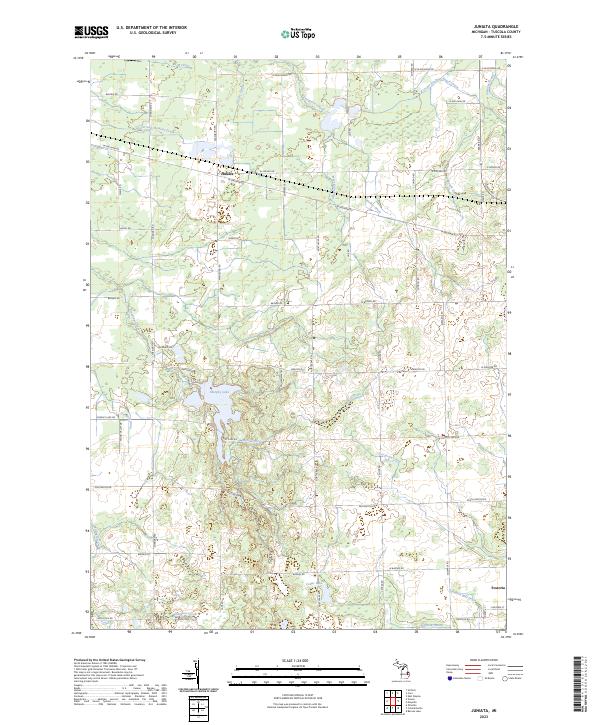
2023 Map of Juniata
USGS Topo · Published 2023About this map
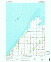
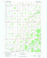
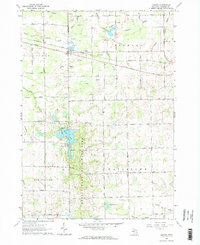
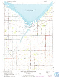
Juniata and Fostoria anchor this rural landscape in Tuscola County, where a complex network of agricultural drainage and natural waterways defines the local geography. The area is marked by numerous man-made channels like the Vassar and Fremont Drain, Taylor Drain, and Goodrich Mill Drain, which redirect water through the low-lying terrain to support the region's farming heritage. Between these drainage systems, natural features such as Murphy Lake and Cedar Lake provide distinct landmarks amidst the grid of country roads. The map reveals a transition from the structured township lines of t11n r9e to the more varied hydrology of Millington Creek and Evergreen Creek. This 2023 survey illustrates how water management, through features like the Beach Drain and McNeil Drain, continues to shape the physical character and land use patterns of this Michigan thumb region.
Find a feature on this map
59 named features on this map. Tap any name to fly to it.
Don’t see what you’re looking for? This feature index may not catch every label — zoom into the map to look around manually.
Map Details
Editions of this 2023 Juniata Map
This is the sole edition of this map. No revisions or reprints were ever made.
Historical Maps of Juniata Through Time
15 maps found
1963 Colling
Tuscola County, MI
1963 East Dayton
Tuscola County, MI
1963 Ellington
Tuscola County, MI
1963 Fish Point
Tuscola County, MI
1963 Gilford
Tuscola County, MI
1963 Juniata
Tuscola County, MI
1963 Quanicassee
Tuscola County, MI
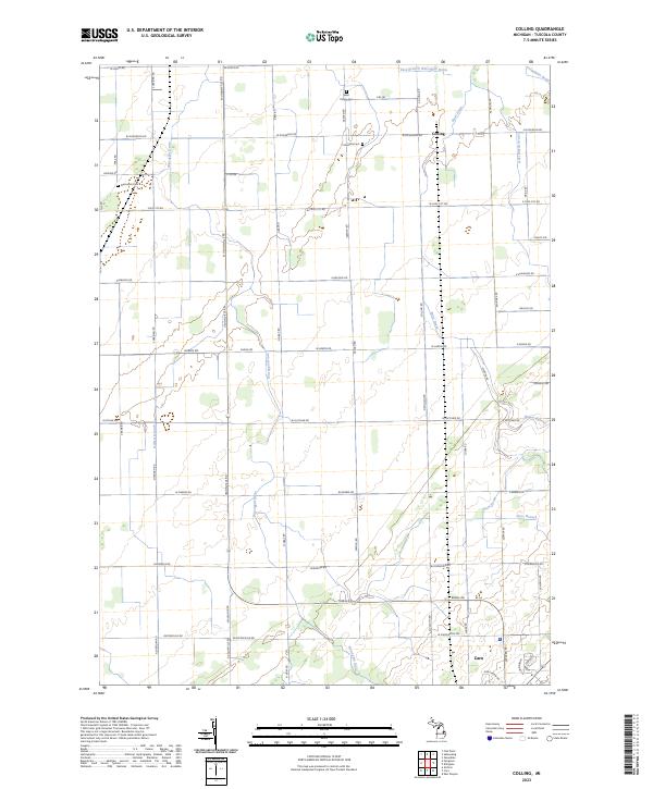
2023 Colling
Tuscola County, MI
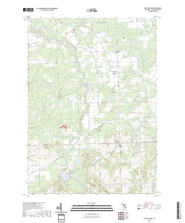
2023 East Dayton
Tuscola County, MI
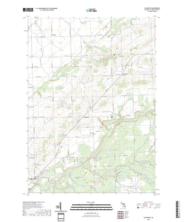
2023 Ellington
Tuscola County, MI
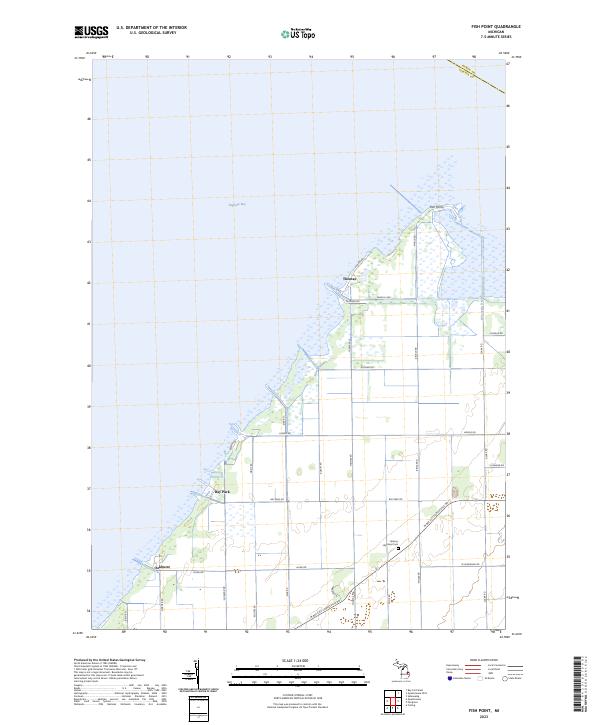
2023 Fish Point
Tuscola County, MI
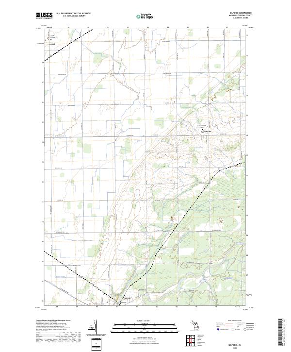
2023 Gilford
Tuscola County, MI
2023 Juniata
Tuscola County, MI
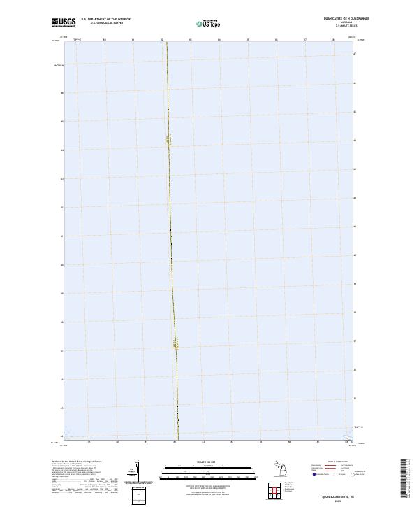
2023 Quanicassee OE N
Tuscola County, MI
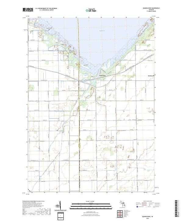
2023 Quanicassee
Tuscola County, MI
Featured Locations
- Watertown Township, MI
- Fremont Township, MI
- Millington Township, MI
- Vassar Township, MI
- Juniata, Vassar Township