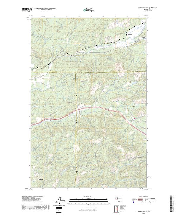
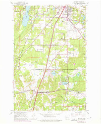
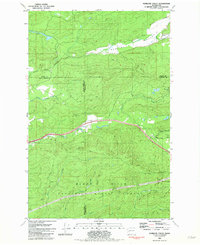
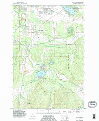
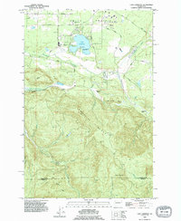
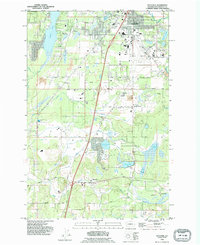
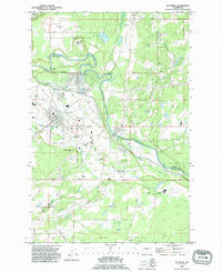
2023 Map of Kamilche Valley
USGS Topo · Published 2023About this map
Capitol Forest dominates the southern reaches of this landscape where Mason, Thurston, and Grays Harbor counties meet. The terrain is defined by a series of steep ridges and creek valleys, notably the Kamilche Valley and Little Skookum Valley in the north. Settlement is concentrated along the peripheries, with the community of Malone situated in the southwest and Marmac and Forbes positioned near the northeastern corner.
Find a feature on this map
44 named features on this map. Tap any name to fly to it.
Don’t see what you’re looking for? This feature index may not catch every label — zoom into the map to look around manually.
Map Details
Editions of this 2023 Kamilche Valley Map
This is the sole edition of this map. No revisions or reprints were ever made.
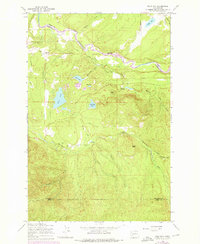
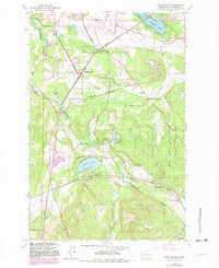
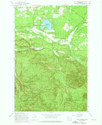
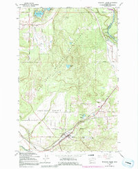
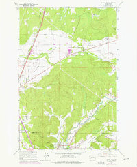
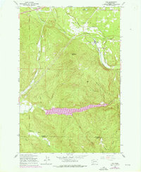
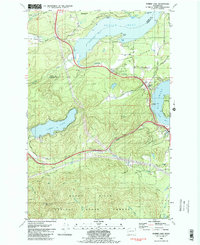
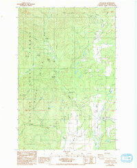
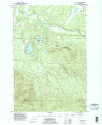
Historical Maps of Forbes Through Time
29 maps found

1941 Gate
Thurston County, WA
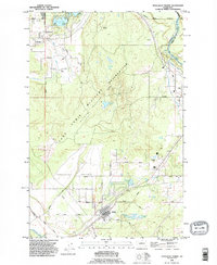
1959 Bald Hill
Thurston County, WA
1959 East Olympia
Thurston County, WA
1959 Lake Lawrence
Thurston County, WA
1959 Maytown
Thurston County, WA
1959 Tenalquot Prairie
Thurston County, WA
1959 Tenino SW
Thurston County, WA
1959 Vail
Thurston County, WA
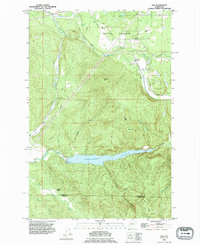
1981 Kamilche Valley
Thurston County, WA
1981 Summit Lake
Thurston County, WA
1986 Littlerock
Thurston County, WA
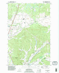
1990 Bald Hill
Thurston County, WA
1990 East Olympia
Thurston County, WA
1990 Lake Lawrence
Thurston County, WA
1990 Maytown
Thurston County, WA
1990 Mc Kenna
Thurston County, WA
1990 Tenalquot Prairie
Thurston County, WA
1990 Vail
Thurston County, WA
1990 Violet Prairie
Thurston County, WA
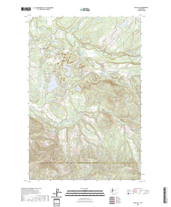
2023 Bald Hill
Thurston County, WA
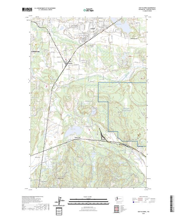
2023 East Olympia
Thurston County, WA
2023 Kamilche Valley
Thurston County, WA
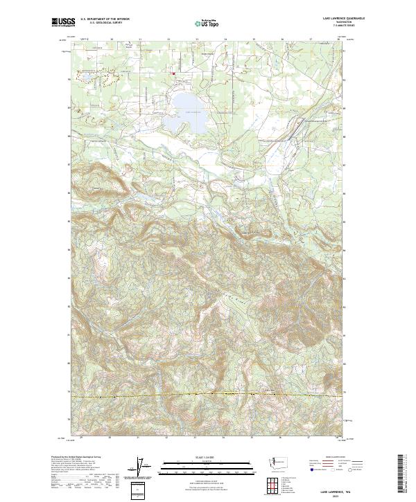
2023 Lake Lawrence
Thurston County, WA
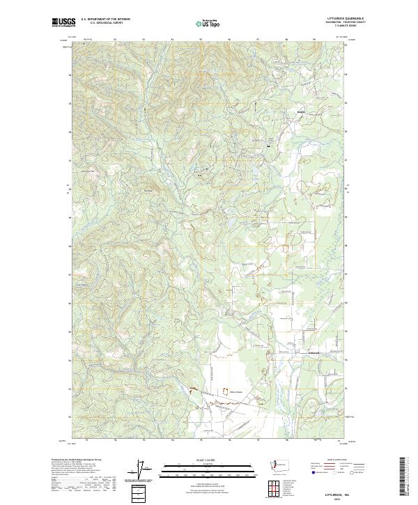
2023 Littlerock
Thurston County, WA
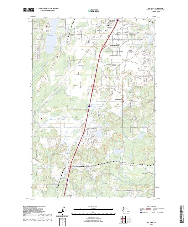
2023 Maytown
Thurston County, WA
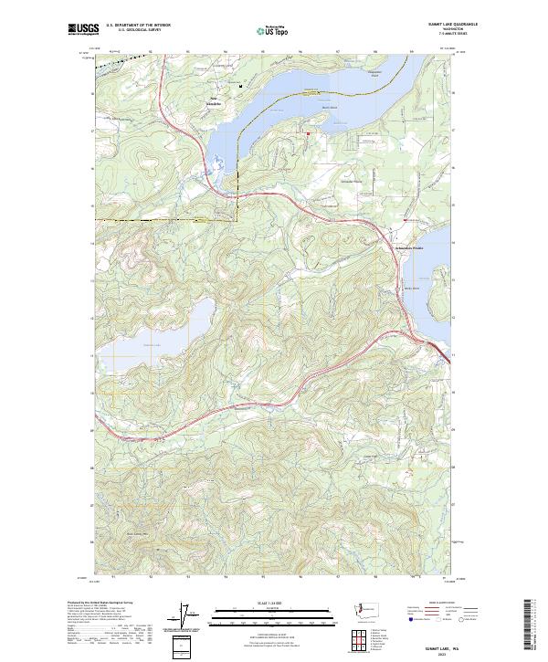
2023 Summit Lake
Thurston County, WA
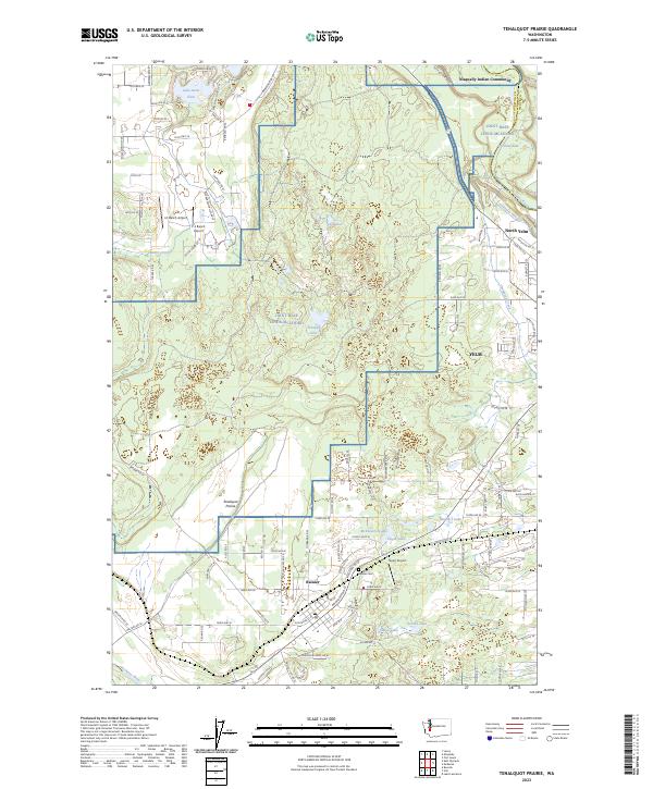
2023 Tenalquot Prairie
Thurston County, WA
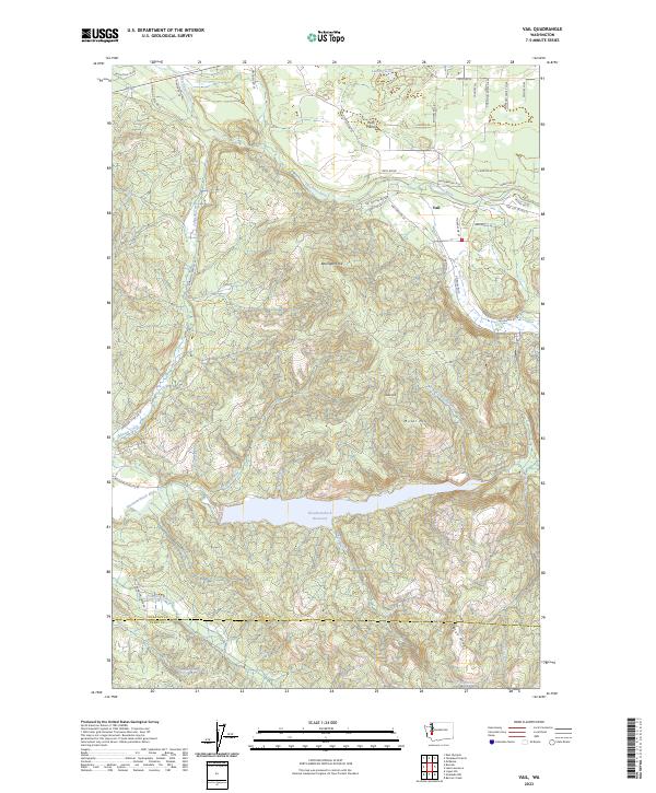
2023 Vail
Thurston County, WA
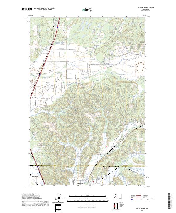
2023 Violet Prairie
Thurston County, WA