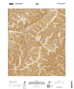
2017 Map of Kateel River A-6 SE
USGS Topo · Published 2017About this map
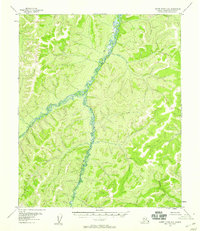
The Honitosa River winds through this interior Alaskan wilderness, serving as the primary geographic marker in a landscape defined by its remote hydrology and complex topography. The drainage patterns shown here reflect the natural state of the Yukon-Koyukuk region, where the river's path is the central focus among the systematic divisions of the Public Land Survey System. Surveyed boundaries for T4s R1e, T4s R2e, T5s R1e, and T5s R2e provide a grid-based framework for this unpopulated terrain, illustrating the formal organization of land far from established settlements. The lack of roads or named structures emphasizes the wild character of the Kateel River area during this 2017 survey.
Find a feature on this map
7 named features on this map. Tap any name to fly to it.
Don’t see what you’re looking for? This feature index may not catch every label — zoom into the map to look around manually.
Map Details
Editions of this 2017 Kateel River A-6 SE Map
This is the sole edition of this map. No revisions or reprints were ever made.
Other maps of this area

1945 · Nulato
USGS Topo · 1:250,000

1951 · Nulato
USGS Topo · 1:250,000

1951 · Kateel River
USGS Topo · 1:250,000

1952 · Nulato D-5
USGS Topo · 1:63,360

1952 · Nulato
USGS Topo · 1:250,000
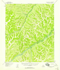
1952 · Kateel River A-5
USGS Topo · 1:63,360
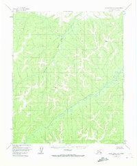
1954 · Kateel River A-5
USGS Topo · 1:63,360
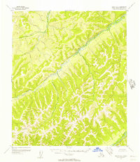
1955 · Nulato D-6
USGS Topo · 1:63,360
1955 · Kateel River A-6
USGS Topo · 1:63,360

1955 · Kateel River
USGS Topo · 1:250,000