
1960 Map of Keene
USGS Topo · Published 1963About this map
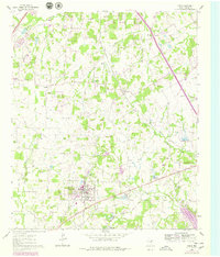
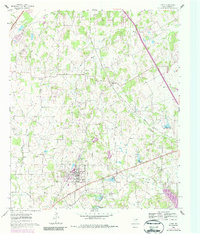
Keene serves as the primary hub of this North Texas landscape, notably defined by the presence of Southwestern Jr College. The community's local geography is structured around a network of rural churches and cemeteries, such as Union Hill Ch and the Marystown Cem, which anchor the small agricultural settlements of the mid-twentieth century. Transportation is dominated by two significant rail lines: the Missouri Kansas and Texas running through the northern sector and the Gulf Colorado and Santa Fe traversing the south near the small community of Egan.
Find a feature on this map
25 named features on this map. Tap any name to fly to it.
Don’t see what you’re looking for? This feature index may not catch every label — zoom into the map to look around manually.
Map Details
Editions of this 1960 Keene Map
Other maps of this area

1891 · Cleburne
USGS Topo · 1:125,000

1894 · Cleburne
USGS Topo · 1:125,000

1894 · Fort Worth
USGS Topo · 1:125,000

1954 · Dallas
USGS Topo · 1:250,000

1955 · Burleson
USGS Topo · 1:24,000

1955 · Primrose
USGS Topo · 1:24,000

1958 · Dallas
USGS Topo · 1:250,000

1959 · Mansfield
USGS Topo · 1:24,000
1959 · Arlington
USGS Topo · 1:62,500

1960 · Cleburne East
USGS Topo · 1:24,000