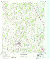
1960 Map of Keene
USGS Topo · Published 1987About this map
Keene serves as the central hub of this Johnson County landscape, notably featuring the campus of Southwestern Union College and the nearby Keene Airport. The settlement pattern follows the drainage of numerous local waterways, including Buffalo Creek, Turkey Creek, and Miller Creek, which eventually feed toward Lake Alvarado in the southeast. This 1960s-era geography reflects a predominantly agricultural region transitioning with the expansion of local infrastructure, as seen in the several Pipeline corridors and the industrial presence of a Gravel Pit along Turkey Creek.
Find a feature on this map
34 named features on this map. Tap any name to fly to it.
Don’t see what you’re looking for? This feature index may not catch every label — zoom into the map to look around manually.
Map Details
Editions of this 1960 Keene Map
Other maps of this area

1891 · Cleburne
USGS Topo · 1:125,000

1894 · Cleburne
USGS Topo · 1:125,000

1894 · Fort Worth
USGS Topo · 1:125,000

1954 · Dallas
USGS Topo · 1:250,000

1955 · Burleson
USGS Topo · 1:24,000

1955 · Primrose
USGS Topo · 1:24,000

1958 · Dallas
USGS Topo · 1:250,000

1959 · Mansfield
USGS Topo · 1:24,000
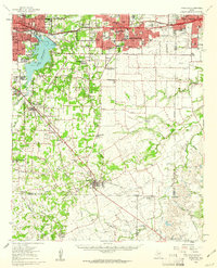
1959 · Arlington
USGS Topo · 1:62,500

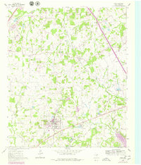
1960 · Keene
USGS Topo · 1:24,000