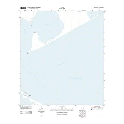
2010 Map of Keller Bay
USGS Topo · Published 2010About this map
Indianola and the surrounding coastline of Calhoun County are preserved in this 2010 study of the Texas coastal landscape. This specific survey area is defined by the complex convergence of Lavaca Bay and Keller Bay as they meet the broader expanse of Matagorda Bay and the Gulf of Mexico. The geography is characterized by distinct coastal features such as Mud Point, Rupert Point, and Sand Point, which delineate the intricate shoreline. Further south, the map details the terrain of Indianola Island and the marshy inlet of Powderhorn Lake. This 21st-century documentation by the U.S. Geological Survey emphasizes the evolving relationship between the land and the water in a region historically shaped by significant storms and shifting tides, providing a clear record of the shoreline's contemporary configuration.
Find a feature on this map
11 named features on this map. Tap any name to fly to it.
Don’t see what you’re looking for? This feature index may not catch every label — zoom into the map to look around manually.
Map Details
Editions of this 2010 Keller Bay Map
This is the sole edition of this map. No revisions or reprints were ever made.
Other maps of this area

1951 · Keller Bay
USGS Topo · 1:24,000

1952 · Port Lavaca East
USGS Topo · 1:24,000

1952 · Point Comfort
USGS Topo · 1:24,000

1952 · Olivia
USGS Topo · 1:24,000

1952 · Seadrift NE
USGS Topo · 1:24,000

1952 · Turtle Bay
USGS Topo · 1:24,000

1952 · Decros Point
USGS Topo · 1:24,000

1952 · Port O'Connor
USGS Topo · 1:24,000

1953 · Beeville
USGS Topo · 1:250,000

1956 · Beeville
USGS Topo · 1:250,000