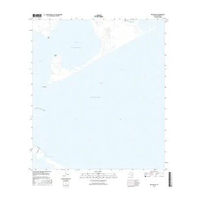
2016 Map of Keller Bay
USGS Topo · Published 2016About this map
Matagorda Bay and Lavaca Bay converge in this coastal survey, where the saltwater environment of the Gulf of Mexico shapes a landscape of intricate shorelines and tidal features. The geography is defined by prominent landform extensions such as Mud Point, Rupert Point, and the expansive stretch of Sand Point. These points of land shelter inner waters like Keller Bay, providing a protected coastal reach. Along the southwestern edge of the sheet, the presence of Powderhorn Bayou suggests the complex drainage patterns of the Texas coast. Local transit is limited to the very periphery of the shoreline, with routes like S Ocean Dr and Stoeckmann Dr providing the only terrestrial landmarks in a region dominated by its massive bay systems and the open sea.
Find a feature on this map
10 named features on this map. Tap any name to fly to it.
Don’t see what you’re looking for? This feature index may not catch every label — zoom into the map to look around manually.
Map Details
Editions of this 2016 Keller Bay Map
This is the sole edition of this map. No revisions or reprints were ever made.
Other maps of this area

1951 · Keller Bay
USGS Topo · 1:24,000

1952 · Port Lavaca East
USGS Topo · 1:24,000

1952 · Point Comfort
USGS Topo · 1:24,000

1952 · Olivia
USGS Topo · 1:24,000

1952 · Seadrift NE
USGS Topo · 1:24,000

1952 · Turtle Bay
USGS Topo · 1:24,000

1952 · Decros Point
USGS Topo · 1:24,000

1952 · Port O'Connor
USGS Topo · 1:24,000

1953 · Beeville
USGS Topo · 1:250,000

1956 · Beeville
USGS Topo · 1:250,000