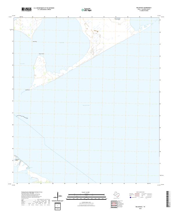
2022 Map of Keller Bay
USGS Topo · Published 2022About this map
The vast coastal waters of Matagorda Bay dominate this 2022 survey, illustrating the complex intersection of land and sea in Calhoun County. The map details the shifting landforms of Indianola Island and the neighboring Powderhorn Bayou, where residential streets like S Ocean Dr and Stoeckmann Dr skirt the shoreline. This geography is defined by prominent coastal markers including Sand Point, Rupert Point, and Mud Point, which together enclose the shallow waters of Keller Bay and Lavaca Bay. The layout reflects the contemporary interface between established coastal access and the natural hydrology of the Texas Gulf Coast.
Find a feature on this map
10 named features on this map. Tap any name to fly to it.
Don’t see what you’re looking for? This feature index may not catch every label — zoom into the map to look around manually.
Map Details
Editions of this 2022 Keller Bay Map
This is the sole edition of this map. No revisions or reprints were ever made.
Other maps of this area

1951 · Keller Bay
USGS Topo · 1:24,000

1952 · Port Lavaca East
USGS Topo · 1:24,000

1952 · Point Comfort
USGS Topo · 1:24,000

1952 · Olivia
USGS Topo · 1:24,000

1952 · Seadrift NE
USGS Topo · 1:24,000

1952 · Turtle Bay
USGS Topo · 1:24,000

1952 · Decros Point
USGS Topo · 1:24,000

1952 · Port O'Connor
USGS Topo · 1:24,000

1953 · Beeville
USGS Topo · 1:250,000

1956 · Beeville
USGS Topo · 1:250,000