
1955 Map of Keller
USGS Topo · Published 1956About this map
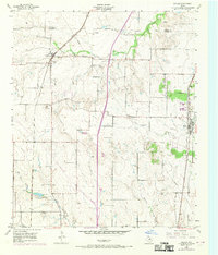
Texas and Pacific and Gulf Colorado and Santa Fe railroad lines anchor the developing landscape of northern Tarrant County during the mid-1950s. The map illustrates a rural-to-suburban transition, with the established community of Keller situated along the eastern rail line and Haslet to the west. Local infrastructure of the era is evidenced by specialized sites like the Keller Pumping Sta and the Haslet Radio Beacon, reflecting the technical requirements of mid-century utilities and aviation navigation.
Find a feature on this map
18 named features on this map. Tap any name to fly to it.
Don’t see what you’re looking for? This feature index may not catch every label — zoom into the map to look around manually.
Map Details
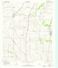
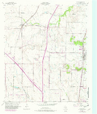
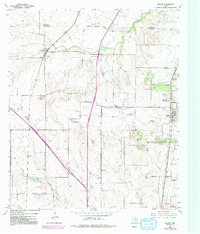
Editions of this 1955 Keller Map
5 editions found
Other maps of this area

1894 · Fort Worth
USGS Topo · 1:125,000

1931 · Grapevine
USGS Topo · 1:62,500

1954 · Dallas
USGS Topo · 1:250,000

1954 · Sherman
USGS Topo · 1:250,000

1955 · Haltom City
USGS Topo · 1:24,000

1955 · Avondale
USGS Topo · 1:24,000

1955 · Lake Worth
USGS Topo · 1:24,000

1955 · Haltom City
USGS Topo · 1:62,500

1958 · Dallas
USGS Topo · 1:250,000

1958 · Sherman
USGS Topo · 1:250,000