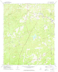
1971 Map of Kellyton
USGS Topo · Published 1973About this map
The Central of Georgia railroad cuts through the northeastern corner of Coosa County, anchoring the community of Kellyton during the early 1970s. This rural landscape is defined by its numerous small congregations and family burial grounds, such as Bradford Ch, Corinth Ch, and the Socapatoy Cem. These landmarks, alongside settlements like Bradford and Socapatoy, reveal a persistent pattern of high-ground settlement separated by the winding drainages of Socapatoy Creek and Elkahatchee Creek. The presence of Jordan Lake and a prominent Pipeline corridor suggests the intersection of traditional agricultural land use with mid-century infrastructure and water management. For genealogists, the map provides precise locations for several scattered cemeteries, including Chapman Cem and Maxwell Cem, which are essential for tracing local family histories in this part of Alabama.
Find a feature on this map
34 named features on this map. Tap any name to fly to it.
Don’t see what you’re looking for? This feature index may not catch every label — zoom into the map to look around manually.
Map Details
Editions of this 1971 Kellyton Map
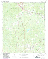
2 editions found
Other maps of this area

1890 · Talladega
USGS Topo · 1:125,000

1891 · Ashland
USGS Topo · 1:125,000

1892 · Talladega
USGS Topo · 1:125,000

1901 · Wetumpka
USGS Topo · 1:125,000

1903 · Wetumpka
USGS Topo · 1:125,000

1906 · Dadeville
USGS Topo · 1:125,000

1944 · Goodwater
USGS Topo · 1:62,500

1947 · Goodwater
USGS Topo · 1:62,500

1953 · Montgomery
USGS Topo · 1:250,000

1953 · Birmingham
USGS Topo · 1:250,000