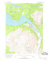
1950 Map of Kenai B-1
USGS Topo · Published 1970About this map
The Kenai National Moose Range dominates this mid-century survey of the Kenai Peninsula, showcasing a landscape of high alpine peaks and massive glacial features. The waters of Skilak Lake act as a central hub, fed by the braided channels of the Skilak River and the sprawling Skilak Glacier to the southeast. Human presence is concentrated along the northern corridor where the Sterling Highway follows the course of the Kenai River.
Find a feature on this map
33 named features on this map. Tap any name to fly to it.
Don’t see what you’re looking for? This feature index may not catch every label — zoom into the map to look around manually.
Map Details
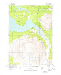
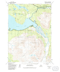
Editions of this 1950 Kenai B-1 Map
4 editions found
Other maps of this area

1944 · Kenai
USGS Topo · 1:250,000

1950 · Kenai
USGS Topo · 1:250,000

1950 · Kenai B-1
USGS Topo · 1:63,360

1950 · Seward A-8
USGS Topo · 1:63,360

1951 · Seward
USGS Topo · 1:250,000

1951 · Kenai B-2
USGS Topo · 1:63,360

1951 · Kenai C-1
USGS Topo · 1:63,360

1951 · Kenai C-2
USGS Topo · 1:63,360

1951 · Kenai A-2
USGS Topo · 1:63,360

1951 · Kenai A-1
USGS Topo · 1:63,360