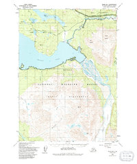
1950 Map of Kenai B-1
USGS Topo · Published 1994About this map
Skilak Lake dominates this mid-century survey of the central Kenai Peninsula, where the glacial waters meet the rugged peaks of the Kenai Wilderness. The map captures the early infrastructure of the region, specifically the Sterling Highway as it winds alongside the Kenai River, providing a lifeline through the dense wilderness. To the south and east, the massive Skilak Glacier feeds into the Skilak River, a landscape defined by shifting moraines and braided waterways like Muddy Lake. Settlement is sparse, represented by isolated landmarks such as Stelters Ranch and a few remote cabins. The map details the transition of the land into the Kenai National Wildlife Refuge, marking a period when recreational and conservation boundaries were being formalized. Local history and genealogy researchers can trace early trails like the Fullers Lake Trail and numerous named water bodies including Engineer Lake and Lower Ohmer Lake.
Find a feature on this map
39 named features on this map. Tap any name to fly to it.
Don’t see what you’re looking for? This feature index may not catch every label — zoom into the map to look around manually.
Map Details
Editions of this 1950 Kenai B-1 Map
4 editions found
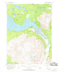
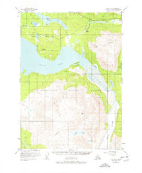
Other maps of this area

1944 · Kenai
USGS Topo · 1:250,000

1950 · Kenai
USGS Topo · 1:250,000

1950 · Kenai B-1
USGS Topo · 1:63,360

1950 · Seward A-8
USGS Topo · 1:63,360

1951 · Seward
USGS Topo · 1:250,000

1951 · Kenai B-2
USGS Topo · 1:63,360

1951 · Kenai C-1
USGS Topo · 1:63,360

1951 · Kenai C-2
USGS Topo · 1:63,360

1951 · Kenai A-2
USGS Topo · 1:63,360

1951 · Kenai A-1
USGS Topo · 1:63,360