
1951 Map of Kenai B-2
USGS Topo · Published 1960About this map
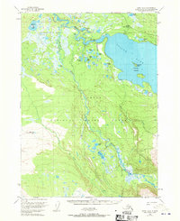
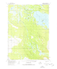
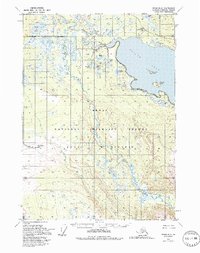
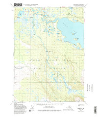
The Kenai National Moose Range dominates this 1950s landscape, providing a detailed look at the wilderness before extensive modern development. The Kenai River winds through the northern sections, joined by the Funny River and the braided channels of the Killey River flowing from the south. The presence of several Cabin sites and the Skilak Guard Station along the shores of Skilak Lake reflects the early administrative and subsistence use of this protected region. Researchers can trace the original shoreline of Skilak Lake, including the Caribou Islands and smaller bodies of water like Harvey Lake and Torpedo Lake. This survey captures a period of early aerial photogrammetry, where land lines remained largely unsurveyed, illustrating the transition from a remote frontier to a managed federal wildlife refuge.
Find a feature on this map
14 named features on this map. Tap any name to fly to it.
Don’t see what you’re looking for? This feature index may not catch every label — zoom into the map to look around manually.
Map Details
Editions of this 1951 Kenai B-2 Map
5 editions found
Other maps of this area

1944 · Kenai
USGS Topo · 1:250,000

1950 · Kenai
USGS Topo · 1:250,000

1950 · Kenai C-3
USGS Topo · 1:63,360

1950 · Kenai B-1
USGS Topo · 1:63,360

1950 · Kenai B-3
USGS Topo · 1:63,360

1951 · Kenai C-1
USGS Topo · 1:63,360

1951 · Kenai C-2
USGS Topo · 1:63,360

1951 · Kenai A-3
USGS Topo · 1:63,360

1951 · Kenai A-2
USGS Topo · 1:63,360

1951 · Kenai A-1
USGS Topo · 1:63,360