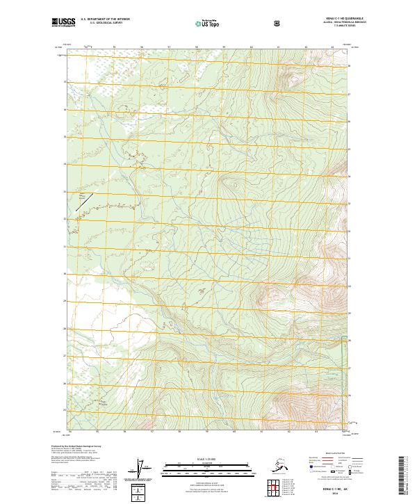
2024 Map of Kenai C-1 NE
USGS Topo · Published 2024About this map
The Kenai Peninsula landscape is dominated by federal conservation lands, reflecting a modern era of environmental preservation. Large portions of this territory fall within the Kenai Wilderness (Dave Spenger Unit) and the Kenai Wilderness (Mystery Creek Unit), showcasing a terrain defined by drainage systems like the Chickaloon River and Thurman Creek. These waters flow through a mosaic of protected areas, including the Kenai National Wildlife Refuge and a section of the Chugach National Forest in the southeast.
Find a feature on this map
14 named features on this map. Tap any name to fly to it.
Don’t see what you’re looking for? This feature index may not catch every label — zoom into the map to look around manually.
Map Details
Editions of this 2024 Kenai C-1 NE Map
This is the sole edition of this map. No revisions or reprints were ever made.
Other maps of this area

1944 · Kenai
USGS Topo · 1:250,000

1950 · Kenai
USGS Topo · 1:250,000

1951 · Seward
USGS Topo · 1:250,000

1951 · Kenai C-1
USGS Topo · 1:63,360

1951 · Kenai D-1
USGS Topo · 1:63,360

1951 · Seward C-8
USGS Topo · 1:63,360

1951 · Seward D-8
USGS Topo · 1:63,360

1952 · Kenai C-1
USGS Topo · 1:63,360

1952 · Seward D-8
USGS Topo · 1:63,360

1952 · Seward C-8
USGS Topo · 1:63,360