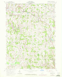
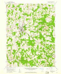
1960 Map of Kensington
USGS Topo · Published 1972About this map
The Columbiana Co Carroll Co line bisects this landscape where the rural economy of the mid-twentieth century was defined by a mix of coal extraction and agriculture. Industrial activity is concentrated at the Mardis Strip Mines and various other Strip Mines in the northwest, contrasting with the dense network of country churches and cemeteries that anchor the local communities. Small settlements like Kensington and Summitville are linked by the Penn Central railroad, while an Old Railroad Grade and several pipelines trace the changing infrastructure of the region.
Find a feature on this map
47 named features on this map. Tap any name to fly to it.
Don’t see what you’re looking for? This feature index may not catch every label — zoom into the map to look around manually.
Map Details
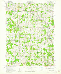
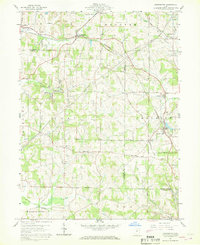
Editions of this 1960 Kensington Map
Other maps of this area

1905 · Salineville
USGS Topo · 1:62,500

1909 · Alliance
USGS Topo · 1:62,500

1909 · Lisbon
USGS Topo · 1:62,500

1910 · Carrollton
USGS Topo · 1:62,500

1912 · Carrollton
USGS Topo · 1:62,500

1951 · Canton
USGS Topo · 1:250,000

1953 · Canton
USGS Topo · 1:250,000

1957 · Canton
USGS Topo · 1:250,000
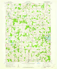
1959 · Hanoverton
USGS Topo · 1:24,000
1959 · Carrollton
USGS Topo · 1:24,000