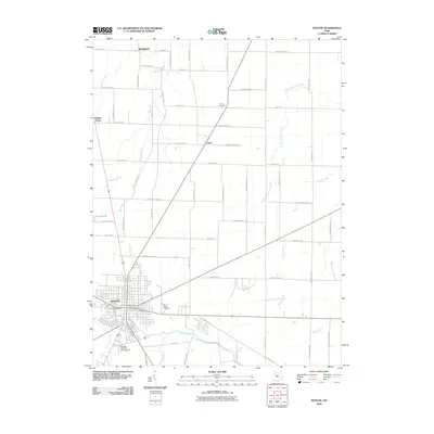
2010 Map of Kenton
USGS Topo · Published 2010About this map
The Scioto River and Blanchard River define the local drainage of this Hardin County landscape, with the city of Kenton serving as the primary hub at their intersection. This 2010 survey illustrates the town's established grid, centered around the Kenton Post Office and extending south toward the Hardin County Fairgrounds. The surrounding rural territory is marked by small settlements such as Bridgeport, Grant, and Walnut Grove, connected by a precise network of township and county roads.
Find a feature on this map
38 named features on this map. Tap any name to fly to it.
Don’t see what you’re looking for? This feature index may not catch every label — zoom into the map to look around manually.
Map Details
Editions of this 2010 Kenton Map
This is the sole edition of this map. No revisions or reprints were ever made.
Other maps of this area

1905 · Arlington
USGS Topo · 1:62,500

1907 · Arlington
USGS Topo · 1:24,000

1907 · Upper Sandusky
USGS Topo · 1:62,500

1915 · Kenton
USGS Topo · 1:62,500

1915 · La Rue
USGS Topo · 1:62,500

1944 · Kenton
USGS Topo · 1:62,500

1950 · Marion
USGS Topo · 1:250,000

1960 · Marseilles
USGS Topo · 1:24,000
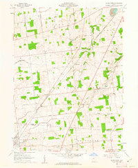
1960 · Silver Creek
USGS Topo · 1:24,000
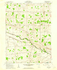
1961 · Foraker
USGS Topo · 1:24,000