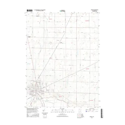
2016 Map of Kenton
USGS Topo · Published 2016About this map
Kenton serves as the focal point of this Hardin County survey, situated where the Scioto River and Blanchard River drainage basins nearly converge. The town's grid is well-defined, featuring thoroughfares like E Columbus St and Lima St, while the surrounding rural landscape is marked by a systematic township and range layout. To the north, the small settlements of Grant and Bridgeport are connected by a network of county roads such as Co Rd 80 and Co Rd 90, illustrating the persistent agricultural character of the region.
Find a feature on this map
69 named features on this map. Tap any name to fly to it.
Don’t see what you’re looking for? This feature index may not catch every label — zoom into the map to look around manually.
Map Details
Editions of this 2016 Kenton Map
This is the sole edition of this map. No revisions or reprints were ever made.
Other maps of this area

1905 · Arlington
USGS Topo · 1:62,500

1907 · Arlington
USGS Topo · 1:24,000

1907 · Upper Sandusky
USGS Topo · 1:62,500

1915 · Kenton
USGS Topo · 1:62,500

1915 · La Rue
USGS Topo · 1:62,500

1944 · Kenton
USGS Topo · 1:62,500

1950 · Marion
USGS Topo · 1:250,000

1960 · Marseilles
USGS Topo · 1:24,000
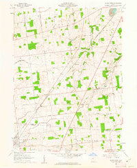
1960 · Silver Creek
USGS Topo · 1:24,000
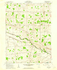
1961 · Foraker
USGS Topo · 1:24,000