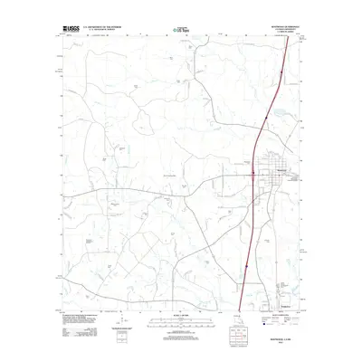
2012 Map of Kentwood
USGS Topo · Published 2012About this map
Kentwood serves as the primary hub in this northern Tangipahoa Parish landscape, situated just south of the Mississippi state line. The area is defined by a dense network of family-named cemeteries and rural roads that trace the drainage basins of the Tangipahoa River and its numerous tributaries, including Beaver Cr and Terrys Cr. South of the main town, the village of Tangipahoa sits near the Camp Moore Confederate Cem, a significant site for local heritage and genealogy. The landscape also reflects varied land use, from the Northeast Greensburg Oil Field in the west to the Hurst Landing Strip near the center. Dozens of family burials like Bond Cem, Burch Cem, and Dykes Cem are scattered across the quadrangle, providing a detailed record of the area's established families and multi-generational landholdings.
Find a feature on this map
118 named features on this map. Tap any name to fly to it.
Don’t see what you’re looking for? This feature index may not catch every label — zoom into the map to look around manually.
Map Details
Editions of this 2012 Kentwood Map
This is the sole edition of this map. No revisions or reprints were ever made.
Other maps of this area

1940 · Spring Creek
USGS Topo · 1:31,680

1940 · Roseland
USGS Topo · 1:31,680

1942 · Roseland
USGS Topo · 1:31,680

1942 · Liverpool
USGS Topo · 1:31,680

1949 · Bolivar
USGS Topo · 1:31,680

1950 · Kentwood
USGS Topo · 1:31,680

1950 · Greensburg
USGS Topo · 1:31,680

1953 · Natchez
USGS Topo · 1:250,000

1954 · Baton Rouge
USGS Topo · 1:250,000

1956 · Natchez
USGS Topo · 1:250,000