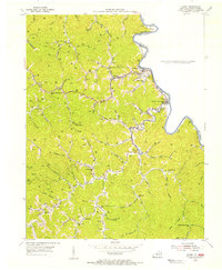
1963 Map of Kermit
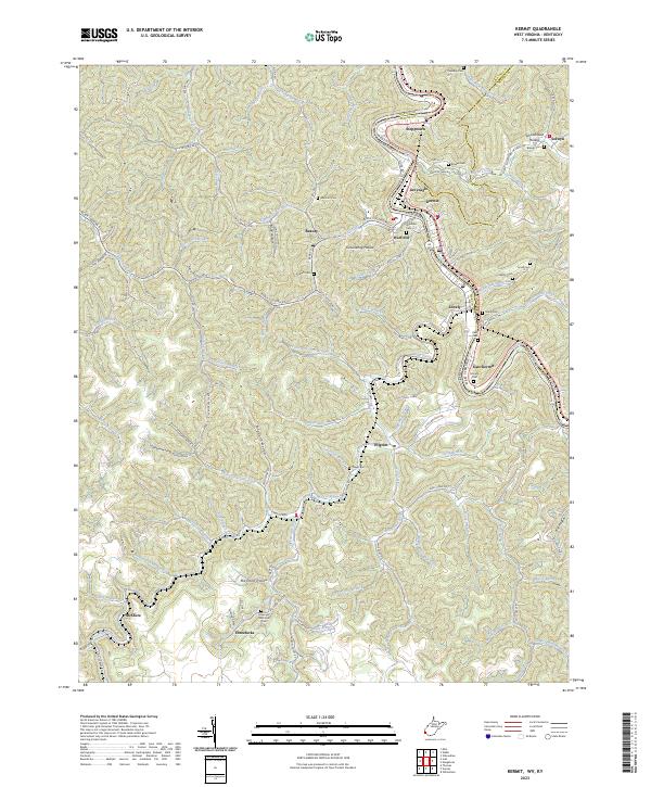
USGS Topo · Published 1989About this map
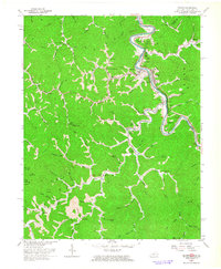
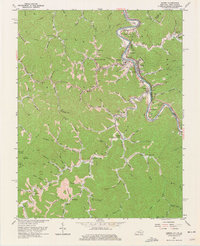
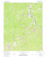
Kermit and Warfield sit on opposite banks of the Tug Fork, marking a point where the West Virginia and Kentucky state line follows the winding river channel. This 1963 revision highlights an era of intensive land use, showing numerous Gas Wells, Oil Wells, and expansive Reclaimed Strip Mines that carve into the high ridges. The Norfolk and Western Ry follows the river's path, serving the industrial corridor connecting Greyeagle and East Kermit. Local history is preserved through named hollows and landmarks like Schoolhouse Hollow, Old Zion Ch, and Gospel Light Ch. The landscape is defined by its verticality, with steep drainages such as Lower Burning Creek and Emily Creek feeding the river system, while a Lookout Tower stands on the high ground overlooking Rockcastle Creek.
Find a feature on this map
87 named features on this map. Tap any name to fly to it.
Don’t see what you’re looking for? This feature index may not catch every label — zoom into the map to look around manually.
Map Details
Editions of this 1963 Kermit Map
4 editions found
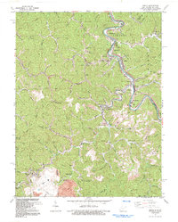
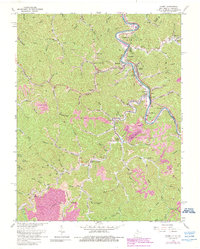
Historical Maps of Warfield Through Time
4 maps found