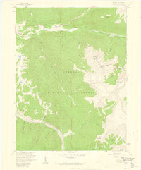
1958 Map of Keystone
USGS Topo · Published 1959About this map
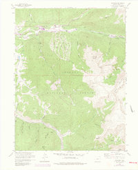
Keystone stands as a primary landmark in this 1950s survey of the high mountain landscape within the Arapaho National Forest. The map documents a rugged high-altitude environment defined by sharp ridges like Keystone Mountain and deep drainages including the Snake River and Swan River. A complex network of tunnels and diversions, such as the Roberts Tunnel and Public Service Diversion, traces through the northern peaks, illustrating mid-century water management projects designed for the development of the Missouri River Basin. Higher elevations are marked by mining history, with several sites including the Saints John area, the Humboldt Mine, and Wise Mountain appearing near the glaciers and steep gulches. These details offer a record of the region's industrial and hydrological landscape before the later expansion of modern resort infrastructure.
Find a feature on this map
1 named feature on this map. Tap any name to fly to it.
Don’t see what you’re looking for? This feature index may not catch every label — zoom into the map to look around manually.
Map Details
Editions of this 1958 Keystone Map
8 editions found
Other maps of this area

1889 · Leadville
USGS Topo · 1:125,000

1891 · Leadville
USGS Topo · 1:125,000

1924 · Montezuma
USGS Topo · 1:62,500

1926 · Montezuma
USGS Topo · 1:62,500

1929 · Dillon
USGS Topo · 1:62,500

1933 · Montezuma
USGS Topo · 1:62,500

1934 · Climax
USGS Topo · 1:48,000

1934 · Dillon
USGS Topo · 1:62,500

1937 · Como
USGS Topo · 1:62,500

1938 · Mt. Lincoln
USGS Topo · 1:48,000