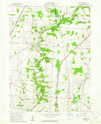
1961 Map of Kilbourne
USGS Topo · Published 1962About this map
Alum Creek carves a winding path through the center of this rural landscape, joined by numerous tributaries like Salt Well Run and Longwell Run. The settlement pattern in the early 1960s reveals a community deeply rooted in its local institutions, from the County Home near Kilbourne to the Grange Hall situated further south. Transportation is defined by the New York Central railroad cutting through the northwest corner near Leonardsburg, while the emerging modern era is represented by a large Parking Area and interstate corridor in the southeast.
Find a feature on this map
40 named features on this map. Tap any name to fly to it.
Don’t see what you’re looking for? This feature index may not catch every label — zoom into the map to look around manually.
Map Details
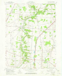
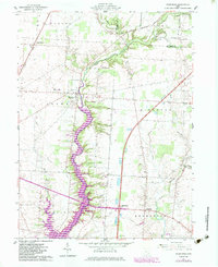
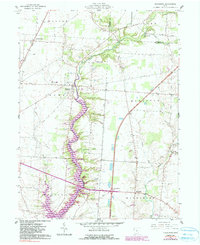
Editions of this 1961 Kilbourne Map
4 editions found
Other maps of this area

1901 · Dublin
USGS Topo · 1:62,500

1902 · Westerville
USGS Topo · 1:62,500

1903 · Dublin
USGS Topo · 1:62,500

1904 · Westerville
USGS Topo · 1:62,500

1915 · Marengo
USGS Topo · 1:62,500

1924 · Delaware
USGS Topo · 1:62,500

1925 · Delaware
USGS Topo · 1:62,500

1943 · Marengo
USGS Topo · 1:62,500

1944 · Delaware
USGS Topo · 1:62,500

1950 · Marion
USGS Topo · 1:250,000