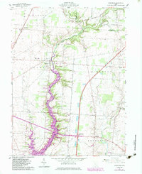
1961 Map of Kilbourne
USGS Topo · Published 1983About this map
Alum Creek Lake dominates the central corridor of this Delaware County landscape, illustrating a significant transformation of the Alum Creek valley. Revisions compiled in 1980 show the inundation of former bottomlands, where numerous tributaries like Salt Lick Run and Shate Lick Run now feed the reservoir. The village of Kilbourne sits at the northern edge of this waterway, while the smaller settlement of Leonardsburg remains inland to the northwest along the Conrail line. Rural life in the mid-20th century is evidenced by sites like the Grange Hall and several local burial grounds, including Old Kilbourne Cem and Greenmound Cem. To the south, the development of Interchange 131 and a nearby Parking Area marks the modernization of the local transport network near Berkshire, while the presence of Bohannan Airport highlights the region's diverse infrastructure.
Find a feature on this map
43 named features on this map. Tap any name to fly to it.
Don’t see what you’re looking for? This feature index may not catch every label — zoom into the map to look around manually.
Map Details
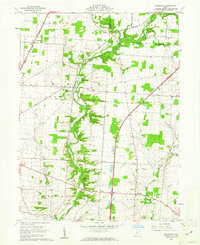
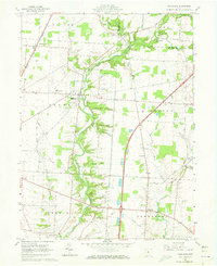
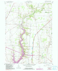
Editions of this 1961 Kilbourne Map
4 editions found
Other maps of this area

1901 · Dublin
USGS Topo · 1:62,500

1902 · Westerville
USGS Topo · 1:62,500

1903 · Dublin
USGS Topo · 1:62,500

1904 · Westerville
USGS Topo · 1:62,500

1915 · Marengo
USGS Topo · 1:62,500

1924 · Delaware
USGS Topo · 1:62,500

1925 · Delaware
USGS Topo · 1:62,500

1943 · Marengo
USGS Topo · 1:62,500

1944 · Delaware
USGS Topo · 1:62,500

1950 · Marion
USGS Topo · 1:250,000