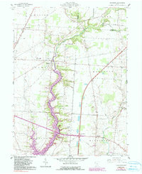
1961 Map of Kilbourne
USGS Topo · Published 1990About this map
Alum Creek carves a deep valley through the center of this landscape, its path eventually giving way to the expanding reservoir waters that define the southern reaches. The area is a mosaic of townships including Brown, Kingston, and Berlin, where agriculture and rural infrastructure are firmly established. The settlement at Kilbourne sits at a strategic crossing, supported by nearby sites like the Old Kilbourne Cem and Greenmound Cem. To the north and east, the land rises toward Leonardsburg and the small hamlet of Berkshire. Transportation is defined by the Conrail line running through the northwest and a network of named country routes such as Worthington Road. Local activity centers around landmarks like Bohannan Airport, Clark Lake, and the Grange Hall, illustrating the mid-century character of Delaware County's rural communities before major suburban expansion.
Find a feature on this map
37 named features on this map. Tap any name to fly to it.
Don’t see what you’re looking for? This feature index may not catch every label — zoom into the map to look around manually.
Map Details
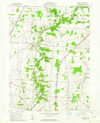
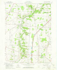
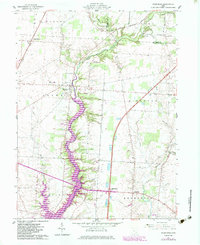
Editions of this 1961 Kilbourne Map
4 editions found
Other maps of this area

1901 · Dublin
USGS Topo · 1:62,500

1902 · Westerville
USGS Topo · 1:62,500

1903 · Dublin
USGS Topo · 1:62,500

1904 · Westerville
USGS Topo · 1:62,500

1915 · Marengo
USGS Topo · 1:62,500

1924 · Delaware
USGS Topo · 1:62,500

1925 · Delaware
USGS Topo · 1:62,500

1943 · Marengo
USGS Topo · 1:62,500

1944 · Delaware
USGS Topo · 1:62,500

1950 · Marion
USGS Topo · 1:250,000