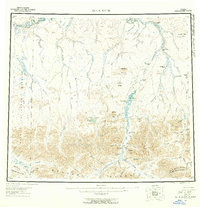
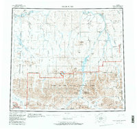
1956 Map of Killik River
USGS Topo · Published 1959About this map
The Brooks Range dominates the southern reaches of this landscape, where high peaks like Pingaluligit Mountain and Mayukuit Mtn give way to a complex network of northward-flowing water systems. The Killik River and the Oolamnagavik River carve through the center of the sheet, creating wide valleys punctuated by prominent landmarks such as the Itkilikruich Ridges. These glacial and fluvial processes are further evidenced by the large Outwash plains and numerous remote lakes, including Lake Udrivik and Imiaknikpak Lake.
Find a feature on this map
87 named features on this map. Tap any name to fly to it.
Don’t see what you’re looking for? This feature index may not catch every label — zoom into the map to look around manually.
Map Details
Editions of this 1956 Killik River Map
6 editions found

Other maps of this area

1951 · Lookout Ridge
USGS Topo · 1:250,000

1951 · Ikpikpuk River
USGS Topo · 1:250,000

1951 · Survey Pass
USGS Topo · 1:250,000

1951 · Chandler Lake
USGS Topo · 1:250,000

1951 · Howard Pass
USGS Topo · 1:250,000

1951 · Ambler River
USGS Topo · 1:250,000

1951 · Killik River
USGS Topo · 1:250,000

1951 · Wiseman
USGS Topo · 1:250,000

1952 · Umiat
USGS Topo · 1:250,000

1955 · Umiat A-5
USGS Topo · 1:63,360