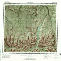
1956 Map of Killik River
USGS Topo · Published 1970About this map
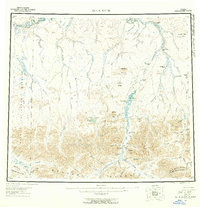
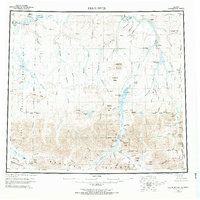
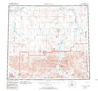
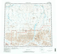
The Brooks Range dominates this mid-century survey of the Arctic North Slope, where the Continental Divide separates the northward flow of the Colville River watershed from the southern interior. The landscape is defined by its massive river systems, including the Killik River, Kurupa River, and Etivluk River, which cut through dramatic formations like the Itiklikruich Ridges and Ivotuk Hills. This era of exploration is marked by the expansive Naval Petroleum Reserve No 4, which covers the western half of the sheet.
Find a feature on this map
88 named features on this map. Tap any name to fly to it.
Don’t see what you’re looking for? This feature index may not catch every label — zoom into the map to look around manually.
Map Details
Editions of this 1956 Killik River Map
6 editions found

Other maps of this area

1951 · Lookout Ridge
USGS Topo · 1:250,000

1951 · Ikpikpuk River
USGS Topo · 1:250,000

1951 · Survey Pass
USGS Topo · 1:250,000

1951 · Chandler Lake
USGS Topo · 1:250,000

1951 · Howard Pass
USGS Topo · 1:250,000

1951 · Ambler River
USGS Topo · 1:250,000

1951 · Killik River
USGS Topo · 1:250,000

1951 · Wiseman
USGS Topo · 1:250,000

1952 · Umiat
USGS Topo · 1:250,000

1955 · Umiat A-5
USGS Topo · 1:63,360