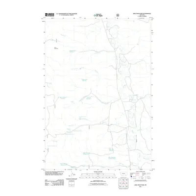
2011 Map of King Mountain
USGS Topo · Published 2011About this map
Otter Creek meanders through the central valley of this Rosebud County landscape, serving as the primary drainage for a network of ephemeral streams and springs. The topography is defined by significant water management features, including Gene Creek Reservoir, Black Canyon Reservoir, and several basins named for the Paget family, such as Paget Reservoir Number One. These impoundments, alongside the prominent King Mountain, reflect the importance of water security in the high plains of Montana.
Find a feature on this map
33 named features on this map. Tap any name to fly to it.
Don’t see what you’re looking for? This feature index may not catch every label — zoom into the map to look around manually.
Map Details
Editions of this 2011 King Mountain Map
This is the sole edition of this map. No revisions or reprints were ever made.
Other maps of this area

1954 · Hardin
USGS Topo · 1:250,000

1957 · Hardin
USGS Topo · 1:250,000

1958 · Hardin
USGS Topo · 1:250,000

1966 · Goodspeed Butte
USGS Topo · 1:24,000

1966 · Coleman Draw
USGS Topo · 1:24,000

1966 · Ashland
USGS Topo · 1:24,000

1966 · Poker Jim Butte
USGS Topo · 1:24,000

1966 · Fort Howes
USGS Topo · 1:24,000

1966 · King Mountain
USGS Topo · 1:24,000

1966 · Willow Crossing
USGS Topo · 1:24,000