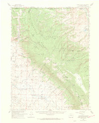
1955 Map of Kings Canyon
USGS Topo · Published 1969About this map
Pinkham Mountain and the surrounding peaks of the Medicine Bow National Forest dominate this landscape, where the high-altitude industrial and ranching history of Jackson County is recorded in detail. The presence of the Village Belle Mine and Kings Canyon Mine suggests an era of extraction, while the Battleship Oil Field and McCallum Oil Field mark the southern reaches of the quadrangle. Transport and logistics are anchored by the Union Pacific rail line and a network of remote trails such as the Medicine Bow Trail. Settlement patterns are sparse and transitory, highlighted by the Old Roach (Site) and isolated homesteads like the Dowell Homestead and Dwinell Ranch, illustrating the rugged subsistence and resource-based economy of this high-country region near the Colorado-Wyoming border.
Find a feature on this map
80 named features on this map. Tap any name to fly to it.
Don’t see what you’re looking for? This feature index may not catch every label — zoom into the map to look around manually.
Map Details
Editions of this 1955 Kings Canyon Map
2 editions found

Other maps of this area

1895 · Laramie
USGS Topo · 1:125,000

1902 · Laramie
USGS Topo · 1:125,000

1905 · Laramie
USGS Topo · 1:125,000

1906 · Medicine Bow
USGS Topo · 1:125,000

1906 · Laramie
USGS Topo · 1:125,000

1908 · Laramie
USGS Topo · 1:125,000

1908 · Medicine Bow
USGS Topo · 1:125,000

1916 · Home
USGS Topo · 1:125,000

1920 · Home
USGS Topo · 1:125,000

1950 · Northgate
USGS Topo · 1:24,000