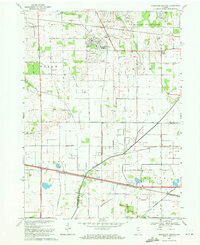
1969 Map of Kingsford Heights
USGS Topo · Published 1971About this map
Kingsford Heights and its distinct circular street layout anchor the northern portion of this LaPorte County landscape. The area is defined by a dense network of drainage engineering, where numerous family-named channels like Hickleson Ditch and Whitham Ditch feed into the Kankakee River as it cuts across the southern townships. This intensive water management reflects the region's agricultural transition, converting low-lying wetlands into productive farmland surrounding the small crossroads of Tracy and Union Center.
Find a feature on this map
55 named features on this map. Tap any name to fly to it.
Don’t see what you’re looking for? This feature index may not catch every label — zoom into the map to look around manually.
Map Details
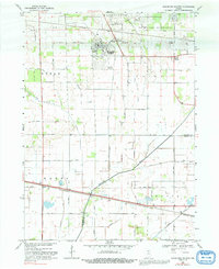
Editions of this 1969 Kingsford Heights Map
2 editions found
Other maps of this area

1953 · Chicago
USGS Topo · 1:250,000

1957 · Chicago
USGS Topo · 1:250,000

1957 · Knox East
USGS Topo · 1:24,000

1957 · Knox West
USGS Topo · 1:24,000

1958 · Hanna
USGS Topo · 1:24,000

1958 · Kingsford Heights
USGS Topo · 1:24,000

1958 · Hamlet
USGS Topo · 1:24,000

1958 · Stillwell
USGS Topo · 1:24,000

1958 · La Porte East
USGS Topo · 1:24,000

1959 · English Lake
USGS Topo · 1:24,000