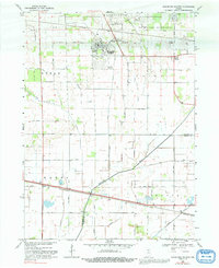
1969 Map of Kingsford Heights
USGS Topo · Published 1992About this map
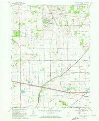
Kingsford Heights serves as the focal point of this northern Indiana landscape, where the distinct circular street patterns of the residential area contrast with the surrounding agricultural grid. The region is heavily shaped by its water management and transport infrastructure, featuring an extensive network of drainage channels such as Baltimore Ditch and Whitham Ditch that feed toward the Kankakee River. To the north, a significant portion of the land is occupied by the US Military Reservation, while the local economy is anchored by the dual presence of the Baltimore and Ohio and Penn Central railroads. Rural life is centered around community landmarks like Immanuel Ch and the Twp Sch at Union Center. The map also documents the crossing into Starke Co at the southern border, marking the transition between the townships of Noble, Union, Hanna, and Davis.
Find a feature on this map
52 named features on this map. Tap any name to fly to it.
Don’t see what you’re looking for? This feature index may not catch every label — zoom into the map to look around manually.
Map Details
Editions of this 1969 Kingsford Heights Map
2 editions found
Other maps of this area

1953 · Chicago
USGS Topo · 1:250,000

1957 · Chicago
USGS Topo · 1:250,000

1957 · Knox East
USGS Topo · 1:24,000

1957 · Knox West
USGS Topo · 1:24,000

1958 · Hanna
USGS Topo · 1:24,000

1958 · Kingsford Heights
USGS Topo · 1:24,000

1958 · Hamlet
USGS Topo · 1:24,000

1958 · Stillwell
USGS Topo · 1:24,000

1958 · La Porte East
USGS Topo · 1:24,000

1959 · English Lake
USGS Topo · 1:24,000