
1951 Map of Kinney
USGS Topo · Published 1952About this map
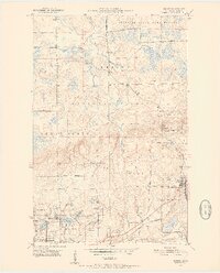
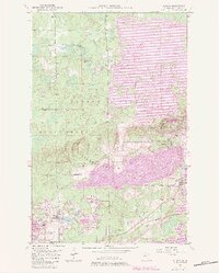
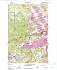
The Laurentian Divide cuts across this iron-rich landscape, marking a significant hydrologic boundary where waters flow either toward the Arctic or the Atlantic. In the early 1950s, the Mesabi Range’s industrial footprint is clearly visible through a dense network of excavations and infrastructure. The map detail highlights the intense mining activity around the village of Kinney and the western edge of Mountain Iron, dominated by massive operations like the Atkins Mine, Whiteside Mine, and the Seville-Midway Mine. Numerous labels for Mine Dumps and active quarries illustrate the massive displacement of earth required to feed the nation's steel mills. Outside the industrial zones, the northern half of the quadrangle transitions into the protected timberlands of the Superior National Forest and the Superior State Game Refuge, where small rural landmarks like the Anderson Sch stand in contrast to the heavy industry to the south.
Find a feature on this map
29 named features on this map. Tap any name to fly to it.
Don’t see what you’re looking for? This feature index may not catch every label — zoom into the map to look around manually.
Map Details
Editions of this 1951 Kinney Map
7 editions found
Other maps of this area

1951 · Eveleth
USGS Topo · 1:24,000

1951 · Virginia
USGS Topo · 1:24,000

1951 · Kirk
USGS Topo · 1:24,000

1951 · Britt
USGS Topo · 1:24,000

1951 · Buhl
USGS Topo · 1:24,000

1952 · Idington
USGS Topo · 1:24,000

1954 · Hibbing
USGS Topo · 1:250,000

1955 · Dark Lake
USGS Topo · 1:24,000

1955 · Dewey Lake SE
USGS Topo · 1:24,000

1957 · Hibbing
USGS Topo · 1:250,000