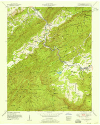
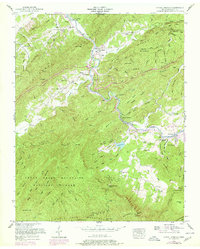
1953 Map of Kinzel Springs
USGS Topo · Published 1955About this map
Little River carves through the dramatic gap between Chilhowee Mountain and the Great Smoky Mountains National Park in this mid-century Tennessee Valley Authority survey. The settlement of Walland sits at a critical bend in the river, serving as a gateway to the fertile basins of Miller Cove and Tuckaleechee Cove. This era shows a landscape transitioning from isolated mountain farming to a more connected valley economy, anchored by the Little River RR and the presence of early recreational features like Laurel Lake and Kinzel Springs.
Find a feature on this map
108 named features on this map. Tap any name to fly to it.
Don’t see what you’re looking for? This feature index may not catch every label — zoom into the map to look around manually.
Map Details
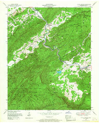
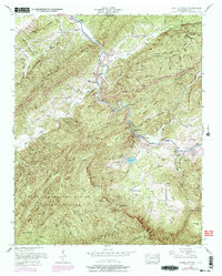
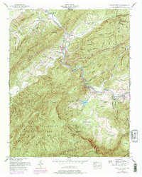
Editions of this 1953 Kinzel Springs Map
5 editions found
Other maps of this area

1886 · Knoxville
USGS Topo · 1:125,000

1892 · Knoxville
USGS Topo · 1:125,000

1894 · Knoxville
USGS Topo · 1:125,000

1895 · Knoxville
USGS Topo · 1:125,000

1901 · Knoxville
USGS Topo · 1:125,000

1935 · Knoxville
USGS Topo · 1:48,000

1935 · Walden Creek
USGS Topo · 1:24,000

1935 · Maryville
USGS Topo · 1:24,000

1935 · Wildwood
USGS Topo · 1:24,000

1935 · Calderwood
USGS Topo · 1:24,000