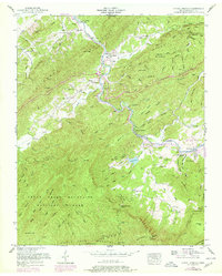
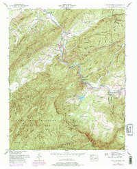
1953 Map of Kinzel Springs
USGS Topo · Published 1978About this map
The Little River carves a central path through this portion of Blount County, where the transition from valley settlements to the steep slopes of Chilhowee Mountain and the Great Smoky Mountains National Park is sharply defined. The mapping reveals a rural landscape anchored by small communities like Walland, Kinzel Springs, and Townsend, often centered around natural features and early industry. Evidence of local life is found in numerous institutions, such as the Rocky Branch School and Millers Cove Church, while industrial traces like the Mill Dam on Mill Creek point to historical water-powered operations. The presence of Butt Cave and Hatcher Cave highlights the karst topography typical of this region's limestone coves, while family history is preserved at the Walker Cemetery and Rocky Branch Cemetery.
Find a feature on this map
127 named features on this map. Tap any name to fly to it.
Don’t see what you’re looking for? This feature index may not catch every label — zoom into the map to look around manually.
Map Details
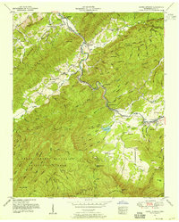
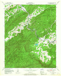
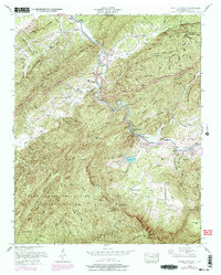
Editions of this 1953 Kinzel Springs Map
5 editions found
Other maps of this area

1886 · Knoxville
USGS Topo · 1:125,000

1892 · Knoxville
USGS Topo · 1:125,000

1894 · Knoxville
USGS Topo · 1:125,000

1895 · Knoxville
USGS Topo · 1:125,000

1901 · Knoxville
USGS Topo · 1:125,000

1935 · Knoxville
USGS Topo · 1:48,000

1935 · Walden Creek
USGS Topo · 1:24,000

1935 · Maryville
USGS Topo · 1:24,000

1935 · Wildwood
USGS Topo · 1:24,000

1935 · Calderwood
USGS Topo · 1:24,000