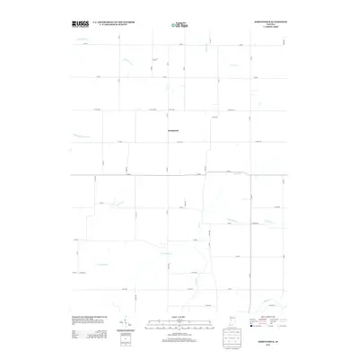
2013 Map of Kirkpatrick
USGS Topo · Published 2013About this map
Kirkpatrick occupies a central position in this Montgomery County landscape, serving as a focal point for the surrounding agricultural network. The township's layout is defined by a rigorous grid of county roads, including Co RD-1200 and Co RD-1100, which facilitate movement through the productive farmland. The hydrology of the region is a mix of natural waterways and engineered drainage systems, such as the Lye Cr Drain and Stock Farm Ditch. These features illustrate the historical effort to manage the local watershed for cultivation. Larger watercourses like Sugar Cr and Little Potato Cr meander through the terrain, providing natural breaks in the geometric field patterns and marking the fundamental environmental character of this central Indiana prairie.
Find a feature on this map
48 named features on this map. Tap any name to fly to it.
Don’t see what you’re looking for? This feature index may not catch every label — zoom into the map to look around manually.
Map Details
Editions of this 2013 Kirkpatrick Map
This is the sole edition of this map. No revisions or reprints were ever made.
Other maps of this area

1953 · Danville
USGS Topo · 1:250,000

1955 · Danville
USGS Topo · 1:250,000

1956 · Danville
USGS Topo · 1:250,000

1956 · Crawfordsville
USGS Topo · 1:24,000

1958 · Darlington
USGS Topo · 1:24,000

1958 · Linden
USGS Topo · 1:24,000

1958 · Kirkpatrick
USGS Topo · 1:24,000

1961 · Mulberry
USGS Topo · 1:24,000

1961 · Romney
USGS Topo · 1:24,000

1961 · Stockwell
USGS Topo · 1:24,000