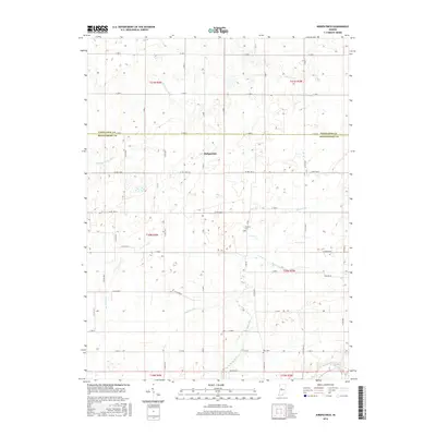
2016 Map of Kirkpatrick
USGS Topo · Published 2016About this map
The unincorporated settlement of Kirkpatrick sits near the center of this 2016 survey, marking a quiet agricultural crossroads where the borders of Tippecanoe and Montgomery counties meet. The landscape is defined by a complex network of drainage and natural waterways, including the winding Sugar Creek in the southeast corner and Bowers Cr flowing through the eastern sections. Genealogists and local historians will find the locations of Peterson Cem and Rice Cem preserved, providing spatial context for family records in this part of Indiana. The terrain is heavily managed for agriculture, evidenced by several engineered waterways such as Romney Fraley Ditch, Stock Farm Ditch, and the Lye Cr Drain, which work alongside natural flows like Little Potato Cr to maintain the productivity of the surrounding farmland.
Find a feature on this map
44 named features on this map. Tap any name to fly to it.
Don’t see what you’re looking for? This feature index may not catch every label — zoom into the map to look around manually.
Map Details
Editions of this 2016 Kirkpatrick Map
This is the sole edition of this map. No revisions or reprints were ever made.
Other maps of this area

1953 · Danville
USGS Topo · 1:250,000

1955 · Danville
USGS Topo · 1:250,000

1956 · Danville
USGS Topo · 1:250,000

1956 · Crawfordsville
USGS Topo · 1:24,000

1958 · Darlington
USGS Topo · 1:24,000

1958 · Linden
USGS Topo · 1:24,000

1958 · Kirkpatrick
USGS Topo · 1:24,000

1961 · Mulberry
USGS Topo · 1:24,000

1961 · Romney
USGS Topo · 1:24,000

1961 · Stockwell
USGS Topo · 1:24,000