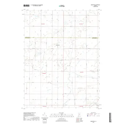
2019 Map of Kirkpatrick
USGS Topo · Published 2019About this map
Kirkpatrick stands as the central hub of this agricultural landscape along the border of Montgomery and Tippecanoe Counties. This 2019 survey reflects a meticulously gridded drainage and transportation network, where the intricate system of ditches and creeks is vital to the local farming economy. Waterways like the Romney Fraley Ditch and Stock Farm Ditch feed into larger arteries such as Lye Creek and Sugar Creek at the southern edge of the quadrangle. Genealogists can locate family landmarks in the area, including the Peterson Cem and Rice Cem, which remain as quiet anchors of local history amidst the sprawling fields. The map captures the persistence of traditional land divisions, from the established township and range lines to the rural road grid, exemplified by names like Bowers Rd and Co RD 1100 N.
Find a feature on this map
36 named features on this map. Tap any name to fly to it.
Don’t see what you’re looking for? This feature index may not catch every label — zoom into the map to look around manually.
Map Details
Editions of this 2019 Kirkpatrick Map
This is the sole edition of this map. No revisions or reprints were ever made.
Other maps of this area

1953 · Danville
USGS Topo · 1:250,000

1955 · Danville
USGS Topo · 1:250,000

1956 · Danville
USGS Topo · 1:250,000

1956 · Crawfordsville
USGS Topo · 1:24,000

1958 · Darlington
USGS Topo · 1:24,000

1958 · Linden
USGS Topo · 1:24,000

1958 · Kirkpatrick
USGS Topo · 1:24,000

1961 · Mulberry
USGS Topo · 1:24,000

1961 · Romney
USGS Topo · 1:24,000

1961 · Stockwell
USGS Topo · 1:24,000