
1947 Map of Kodiak D-3
USGS Topo · Published 1966About this map
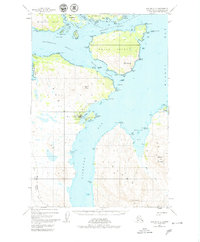
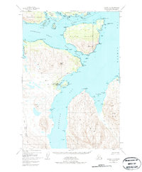
Port Lions sits along the northern coast of Kodiak Island, serving as a primary settlement within this complex maritime landscape. The map details the intricate waterways of the Kodiak Archipelago, where Whale Island and Raspberry Island are separated by the narrow Raspberry Strait and the broader Kupreanof Strait. To the south, the deep waters of Kizhuyak Bay cut into the mountainous interior, flanked by heights such as Sharatin Mountain and Elbow Mtn. Much of the western terrain is preserved within the Kodiak National Wildlife Refuge, reflecting the region's emphasis on habitat conservation. The chart also records numerous coastal landmarks used for local navigation, including Barabara Cove, Settler Cove, and Thomas Rock, capturing the archipelago's geography shortly after the mid-century period.
Find a feature on this map
65 named features on this map. Tap any name to fly to it.
Don’t see what you’re looking for? This feature index may not catch every label — zoom into the map to look around manually.
Map Details
Editions of this 1947 Kodiak D-3 Map
3 editions found
Other maps of this area

1949 · Kodiak C-2
USGS Topo · 1:63,360

1949 · Kodiak D-2
USGS Topo · 1:63,360

1949 · Kodiak D-3
USGS Topo · 1:63,360

1950 · Kodiak D-3
USGS Topo · 1:63,360

1951 · Kodiak D-2
USGS Topo · 1:63,360

1952 · Kodiak
USGS Topo · 1:250,000

1952 · Afognak
USGS Topo · 1:250,000

1952 · Kodiak C-3
USGS Topo · 1:63,360

1952 · Afognak A-4
USGS Topo · 1:63,360

1952 · Kodiak C-4
USGS Topo · 1:63,360