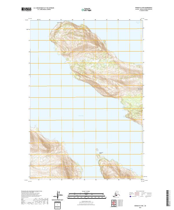
2021 Map of Kodiak D-4 NW
USGS Topo · Published 2021About this map
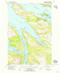
Kupreanof Peninsula dominates this coastal landscape on the northwest reaches of Kodiak Island, defined by its complex shoreline and steep elevations. The terrain is marked by prominent coastal features including Outlet Cape and Seiba Point, which overlook the deep waters of Viekoda Bay. In the northern portion of the quadrangle, Kupreanof Strait serves as a critical maritime passage separating the main island from its northern neighbors. This 2021 survey illustrates a region largely shaped by its natural topography, showing the intricate contour lines of the peninsula and isolated landforms like Naugolka Point. The map provides a precise record of the shoreline and public land survey boundaries, reflecting the modern management of this maritime environment.
Find a feature on this map
10 named features on this map. Tap any name to fly to it.
Don’t see what you’re looking for? This feature index may not catch every label — zoom into the map to look around manually.
Map Details
Editions of this 2021 Kodiak D-4 NW Map
This is the sole edition of this map. No revisions or reprints were ever made.
Other maps of this area

1952 · Kodiak
USGS Topo · 1:250,000

1952 · Afognak
USGS Topo · 1:250,000

1952 · Afognak A-4
USGS Topo · 1:63,360

1952 · Kodiak D-5
USGS Topo · 1:63,360
1952 · Afognak A-5
USGS Topo · 1:63,360

1952 · Kodiak D-4
USGS Topo · 1:63,360

1953 · Afognak A-4
USGS Topo · 1:63,360
1953 · Afognak A-5
USGS Topo · 1:63,360
1954 · Kodiak D-5
USGS Topo · 1:63,360
1954 · Kodiak D-4
USGS Topo · 1:63,360