
1960 Map of Kokomo East
USGS Topo · Published 1961About this map
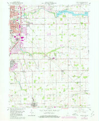
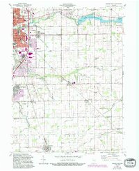
The eastern edges of Kokomo give way to the agricultural heart of Taylor and Liberty townships in this 1960 survey. The urban expansion of the era is evident in the residential layout of Indian Heights and the industrial and transport arteries of the Pennsylvania and New York Chicago and St Louis railroads. The landscape is defined by the winding course of Wildcat Creek, which feeds the Kokomo Waterworks Reservoir No 2, a central feature for the local utility infrastructure. Scattered across the rural sections are several historic community hubs, including Darrough Chapel, Macedonia Ch, and Township Sch. Numerous small burial grounds such as Salem Cem and Albright Cem suggest older family settlements that existed before the consolidation of the modern city limits. Near the center of the map, the Artesian Well and Izaak Walton Lake provide local landmarks within the drainage basin of Kokomo Creek.
Find a feature on this map
53 named features on this map. Tap any name to fly to it.
Don’t see what you’re looking for? This feature index may not catch every label — zoom into the map to look around manually.
Map Details
Editions of this 1960 Kokomo East Map
3 editions found
Other maps of this area

1953 · Danville
USGS Topo · 1:250,000

1953 · Muncie
USGS Topo · 1:250,000

1955 · Danville
USGS Topo · 1:250,000

1956 · Muncie
USGS Topo · 1:250,000

1956 · Danville
USGS Topo · 1:250,000

1959 · Galveston
USGS Topo · 1:24,000

1959 · Miami
USGS Topo · 1:24,000

1960 · Kokomo West
USGS Topo · 1:24,000

1960 · Kempton
USGS Topo · 1:24,000

1960 · Tipton
USGS Topo · 1:24,000