
1951 Map of Kotzebue
USGS Topo · Published 1951About this map
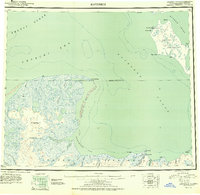
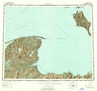
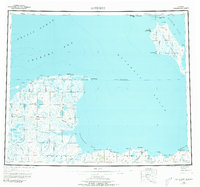
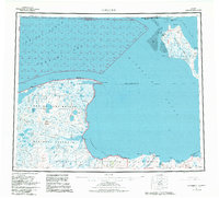
Kotzebue sits at the northern tip of the Baldwin Peninsula, serving as a vital hub for the region between Kotzebue Sound and Hotham Inlet. This 1951 survey documents the shoreline and interior of the Seward Peninsula during a period of transition, showing established settlements like Deering alongside the traditional Winter Trail networks that connected remote outposts. The map records several notable landmarks, including a Landplane Airport near Kotzebue and various Cem and Ruins that mark the landscape.
Find a feature on this map
59 named features on this map. Tap any name to fly to it.
Don’t see what you’re looking for? This feature index may not catch every label — zoom into the map to look around manually.
Map Details
Editions of this 1951 Kotzebue Map
5 editions found
Other maps of this area

1950 · Kotzebue A-1
USGS Topo · 1:63,360

1950 · Kotzebue C-6
USGS Topo · 1:63,360

1950 · Bendeleben D-6
USGS Topo · 1:63,360

1950 · Bendeleben D-2
USGS Topo · 1:63,360

1950 · Teller
USGS Topo · 1:250,000

1950 · Bendeleben D-5
USGS Topo · 1:63,360

1950 · Bendeleben
USGS Topo · 1:250,000

1950 · Bendeleben D-3
USGS Topo · 1:63,360

1950 · Bendeleben D-1
USGS Topo · 1:63,360

1950 · Shishmaref
USGS Topo · 1:250,000