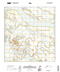
2020 Map of Kwiguk C-5 NW
USGS Topo · Published 2020About this map
The Yukon River dominates this landscape in the Kusilvak Census Area, where the river's massive flow is carved into a complex network of branching passes and sloughs. This particular reach is defined by major navigational channels like Kwikluak Pass and Bugomowik Pass, which highlight the fluid geography of the Yukon Delta. Small settlements such as Akumsuk and Lamont are situated along these waterways, positioned to take advantage of the river's seasonal resources and transport lanes.
Find a feature on this map
17 named features on this map. Tap any name to fly to it.
Don’t see what you’re looking for? This feature index may not catch every label — zoom into the map to look around manually.
Map Details
Editions of this 2020 Kwiguk C-5 NW Map
This is the sole edition of this map. No revisions or reprints were ever made.
Other maps of this area

1952 · Kwiguk
USGS Topo · 1:250,000

1952 · Kwiguk C-6
USGS Topo · 1:63,360

1952 · Kwiguk D-6
USGS Topo · 1:63,360

1952 · Kwiguk C-5
USGS Topo · 1:63,360

1952 · Kwiguk D-5
USGS Topo · 1:63,360
2020 · Kwiguk C-6 SE
USGS Topo · 1:25,000
2020 · Kwiguk D-6 SE
USGS Topo · 1:25,000
2020 · Kwiguk D-5 SW
USGS Topo · 1:25,000
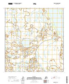
2020 · Kwiguk C-5 SE
USGS Topo · 1:25,000
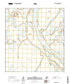
2020 · Kwiguk D-5 SE
USGS Topo · 1:25,000