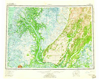
1952 Map of Kwiguk
USGS Topo · Published 1960About this map
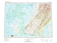
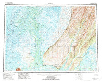
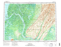
The Yukon River delta unfolds in intricate detail, revealing a complex network of distributaries and seasonal settlements in the early 1950s. At the Head of Passes, the river splits into major waterways including Kwikpak Pass and Kwikluak Pass, which navigate the marshy lowlands toward Norton Sound. This geography supported a specialized river-based economy, evidenced by the numerous small settlements and fish camps scattered along the banks, such as Fish Village and Bill Moores.
Find a feature on this map
82 named features on this map. Tap any name to fly to it.
Don’t see what you’re looking for? This feature index may not catch every label — zoom into the map to look around manually.
Map Details
Editions of this 1952 Kwiguk Map
8 editions found
Other maps of this area

1947 · Russian Mission
USGS Topo · 1:250,000

1950 · Russian Mission
USGS Topo · 1:250,000

1951 · Marshall
USGS Topo · 1:250,000

1951 · Unalakleet
USGS Topo · 1:250,000

1951 · Hooper Bay
USGS Topo · 1:250,000

1951 · Black
USGS Topo · 1:250,000

1951 · St Michael
USGS Topo · 1:250,000

1951 · Holy Cross
USGS Topo · 1:250,000

1952 · Kwiguk
USGS Topo · 1:250,000

1952 · Kwiguk D-1
USGS Topo · 1:63,360