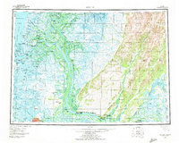
1952 Map of Kwiguk
USGS Topo · Published 1972About this map
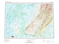
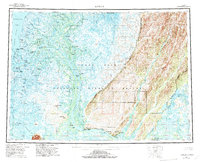
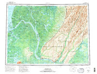
The Yukon River dominates this mid-century survey as it fractures into the massive Yukon Delta, creating a labyrinth of passages and sloughs including Kwikpak Pass, Kawanak Pass, and Kwikluak Pass. Along these waterways, indigenous and riverfront settlements like Emmonak, Alakanuk, and Hamilton represent the vital hubs of transport and subsistence at the time of the 1952 survey. The landscape transitions from the watery maze of the delta in the west to the more elevated Andreafsky Hills and Kusilvak Mountains in the east.
Find a feature on this map
59 named features on this map. Tap any name to fly to it.
Don’t see what you’re looking for? This feature index may not catch every label — zoom into the map to look around manually.
Map Details
Editions of this 1952 Kwiguk Map
8 editions found
Other maps of this area

1947 · Russian Mission
USGS Topo · 1:250,000

1950 · Russian Mission
USGS Topo · 1:250,000

1951 · Marshall
USGS Topo · 1:250,000

1951 · Unalakleet
USGS Topo · 1:250,000

1951 · Hooper Bay
USGS Topo · 1:250,000

1951 · Black
USGS Topo · 1:250,000

1951 · St Michael
USGS Topo · 1:250,000

1951 · Holy Cross
USGS Topo · 1:250,000

1952 · Kwiguk
USGS Topo · 1:250,000

1952 · Kwiguk D-1
USGS Topo · 1:63,360